
District Pondicherry Commune Nettapakkam Local time Friday 5:40 PM | State Puducherry Time zone IST (UTC+5:30) Area code 0413 | |
 | ||
Weather 30°C, Wind SE at 14 km/h, 72% Humidity | ||
Karikalampakkam (Tamil: கரிக்கலாம்பாக்கம்) is a panchayat village in Nettapakkam Commune in the Union Territory of Puducherry, India. It is also a revenue village under Nettapakkam firka. If splitting the Name of Karikalampakkam and translating in to English it will give the reason of village name by how it came. Kari - Dark; akalam - Non Leaving; pakkam - the place or location. So when the Pondicherry under French rule, this place identified by the other village people by noticing the full darkness; occupying entire area of the village even at day time, because this village covered fully by big trees and it won't allow the light passing inside.
Contents
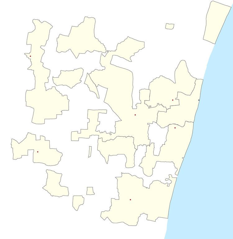
Map of Karikalampakkam, Puducherry 605007
Geography
Karikalampakkam is bordered by Chellancherry village (Tamil nadu) in the west, Korkadu in the north, Pudukkadai village (Tamil nadu) in the east and Malattar in the south.
Transport
Karikalampakkam is located at 15 km. from Pondicherry. Karikalampakkam can be reached directly by any bus running between Puducherry - Maducarai or Puducherry- Bahour via Karikalampakkam.
Road Network
Karikalampakkam is connected to Pondicherry by both Villianur-Bahour road (RC-18) and Thavalakuppam-Embalam road (RC-20). In fact, Karikalampakkam is located at the junction of RC-18 and RC-20.
Politics
Karikalampakkam is a part of Embalam (Union Territory Assembly constituency) which comes under Puducherry (Lok Sabha constituency)