District Pondicherry Commune Nettapakkam Local time Friday 11:49 PM | State Puducherry Time zone IST (UTC+5:30) Area code 0413 | |
 | ||
Weather 27°C, Wind S at 3 km/h, 78% Humidity | ||
Maducarai (Tamil: மடுகரை) is a panchayat village in Nettapakkam Commune in the Union Territory of Puducherry, India. It is also a revenue village under Nettapakkam firka. Muducarai consists of two village panchayats namely Maducarai(East) and Maducarai(West).
Contents
- Map of Madukarai Puducherry
- Geography
- Transport
- Road Network
- Marakaleswarar Temple
- Freedom Fighters Arch
- People from Maducarai
- Politics
- References
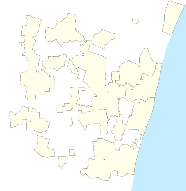
Map of Madukarai, Puducherry
Geography
Maducarai is bordered by Kariamanickam in the east and rest of three sides bordered by Tamil nadu villages.
Transport
Maducarai is located at 32 km. from Pondicherry. Maducarai can be reached directly by any bus running between Pondicherry and Maducarai.
Road Network
Maducarai is connected to Pondicherry by Mangalam - Maducarai State Highway (RC-19).
Marakaleswarar Temple
Marakaleswarar Temple is one of the ancient temple in Puducherry. It belongs to Chozha period.
Freedom Fighters Arch
Freedom Fighters Centenary Year Memorial Arch is located on Siruvandhadu road. The pillars in the arch has the list of freedom fighters who fought for the merger of Pondicherry with the Indian Union.
People from Maducarai
Politics
Maducarai is a part of Nettapakkam (Union Territory Assembly constituency) which comes under Puducherry (Lok Sabha constituency)
