
Coat of arms Flag Selsoviets 14 Area 10,236 km² | Administrative center selo of Karatuzskoye Rural localities 28 Date formed April 4, 1924 | |
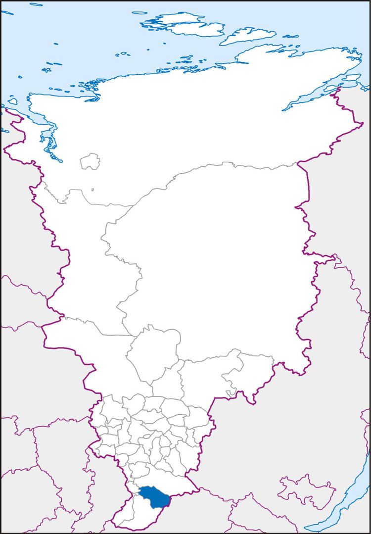 | ||
Karatuzsky District (Russian: Карату́зский райо́н) is an administrative and municipal district (raion), one of the forty-three in Krasnoyarsk Krai, Russia. It is located in the south of the krai and borders with Kuraginsky District and the Tuva Republic in the east, Yermakovsky District in the south and southwest, and with Shushensky and Minusinsky Districts in the west. The area of the district is 10,236 square kilometers (3,952 sq mi). Its administrative center is the rural locality (a selo) of Karatuzskoye. Population: 16,036 (2010 Census); 18,795 (2002 Census); 19,923 (1989 Census). The population of Karatuzskoye accounts for 46.5% of the district's total population.
Contents
- Map of Karatuzsky District Krasnoyarsk Krai Russia
- Geography
- History
- Divisions and government
- References
Map of Karatuzsky District, Krasnoyarsk Krai, Russia
Geography
The district is located in the Amyl River basin, in the southeastern part of the Minusinsk Hollow at the spurs of eastern Sayan Mountains.
History
The district was founded on April 4, 1924.
Divisions and government
As of 2013, the Head of the district and the Chairman of the District Council is Konstantin A. Tyunin.