
Subregion Konya Team Karamanspor | Region West Anatolia Vehicle registration 70 Area code 338 | |
 | ||
University Karamanoğlu Mehmetbey University Points of interest Taurus Mountains, Karaman Museum, Karaman Kalesi, Hürrem Dayı Evi, Tartan Evi | ||
Karaman Province (Turkish: Karaman ili) is a province of central Turkey. It has an area of 9,163 km². It has a population of 232,633 (2010 est). According to the 2000 census the population was 243,210. Population density is 27.54 people/km². The traffic code is 70. The capital is the city of Karaman. Karaman was the location of the Karamanid emirate, which came to an end in 1486.
Contents
Map of Karaman, Turkey
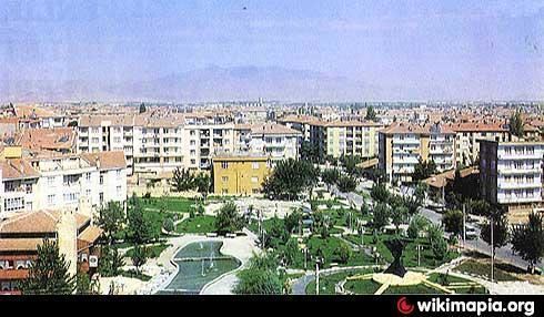
Karaman ta kale
Districts
Karaman province is divided into 6 districts (capital district in bold):
Towns
Place of interest
References
Karaman Province Wikipedia(Text) CC BY-SA