
Country Turkey Time zone EET (UTC+2) Licence plate 70 Local time Sunday 4:18 PM Province Karaman Province | Elevation 1,196 m (3,924 ft) Postal code 70xxx Website www.ermenek.gov.tr Area code 0338 | |
 | ||
Weather 2°C, Wind SE at 8 km/h, 100% Humidity | ||
Ermenek is a town and district of Karaman Province in the Mediterranean region of Turkey. The district forms the core of the plateau region Taşeli. According to 2014 census, population of the district is 29,957 of which 11,332 live in the town of Ermenek.
Contents
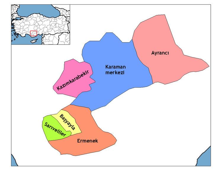
Map of Ermenek%2FKaraman, Turkey
Name
The town was historically known as Germanicopolis (Greek: Γερμανικόπολις); Germanig, and possibly Clibanus; which later mutuated to Ermenek.
History
Germanicopolis was a town in ancient Isauria. (Hierocl. p. 709; Concil. Chalced. p. 659; Const. Porphyr. de Them. i. 13.) The city took its name from Germanicus, grandson of Augustus.
Four of its bishops are known during the Byzantine government: Tyrannus, 451; Eustathius, 797; Basil, 878 (Le Quien, Or. christ., II, 1027); and Bisulas in the sixth century (Brooks, Sixth Book of the Letters of Severus, 13, 26, 80). The crusaders sustained a great defeat near the city in 1098. It passed to the Turkic dynasty of the Karamanids and became a centre of the Avşar Turks in 1228. During the Karamanid period, many of Ermenek's historical Mosques were constructed - Akca Mosque (1300), the Ulu Cami (1302), the Sipas Mosque (1306) and the Meydan mosque (1436). It was later incorporated into the Ottoman Empire who made it part of the Karaman Province where it was the second most important town after Karaman itself.
Geography
Settlements in the Ermenek district include: