
Time zone PST (UTC+5) Area 3,372 km² | Headquarters Karak Number of Tehsils 3 | |
 | ||
Established Karak was granted district status in July 1982 | ||
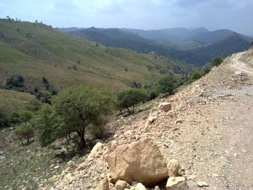
Karak (Pashto: کرك, Urdu: کرک) is a district of the Khyber Pakhtunkhwa province of Pakistan. It is situated to the south of Kohat District and on the north side of Bannu and Lakki Marwat districts on the main Indus Highway between Peshawar and Karachi - it is 123 km from the provincial capital Peshawar. It gained a district status in 1982, prior to which it was part of Kohat District. The total population counted in the 1998 census was 431,000. The major first language is Pashto spoken by 99.7% of the district's inhabitants.
Contents
Map of Karak District, Pakistan
Administrative divisions
The district of Karak is administratively subdivided into three tehsils.
Education
References
Karak District Wikipedia(Text) CC BY-SA