
Time zone PST (UTC+5) | Area 1,227 km² | |
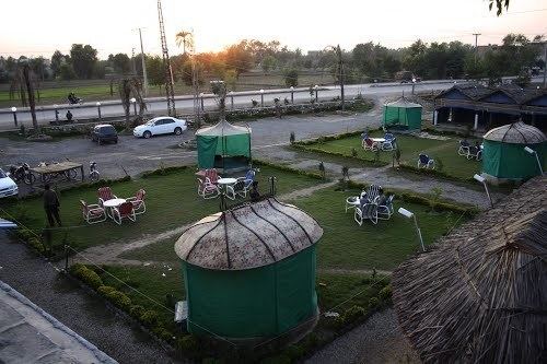 | ||
Women protection project in district bannu
Bannu District (Pashto: بنو, Urdu: ضلع بنوں, Avestan Varəna), as formed by the British in 1861, is one of 26 districts that make up the Khyber Pakhtunkhwa province of Pakistan. It borders North Waziristan to the northwest, Karak to the northeast, Lakki Marwat to the southeast, and South Waziristan to the southwest. It is represented in the provincial assembly by four MPAs. The district's main city is Bannu.
Contents
- Women protection project in district bannu
- Mandan park bannu kabaddi 14 august 2016
- Physical features
- History
- British era 18611947
- Administrative subdivisions
- Demographics
- References
The major industries of Bannu are cloth weaving and the manufacturing of cotton fabrics, machinery, and equipment. It is famous for its weekly Jumma fair. The district forms a basin drained by the Kurram and Gambila (or Tochi) rivers, which originate in the hills of Waziristan. Although Bannu is surrounded by rugged and dry mountains, it is a very fertile place, and early English visitors had been known to refer to it as a "paradise" – see the beautiful description by Edwardes quoted by Thornton.
Mandan park bannu kabaddi 14 august 2016
Physical features
The district forms a basin drained by the Kurram River and Gambila River (or Tochi river) which originate in the hills of Waziristan. The Bannu Valley proper stretches to the foot of the frontier hills, forming an irregular oval, measuring 60 miles (100 km) from north to south and 40 miles (60 km) from east to west.
History
The history of Bannu goes back to prehistoric times, due to its strategic location. Sheri Khan Tarakai is an ancient settlement site located in the Bannu District with ruins of the oldest known village settlement in the Bannu region, which was occupied from the late fifth until the early third millennium BC.
The sacred texts of Zend Avesta and Vendidad mention that Varəna, the old name of Bannu, has one of the sixteen most beautiful and perfect lands created by Ahura Mazda, the God of Zoroastrianism, predating Islam. Bannu is the homeland of FerΘraētaona/Frēdōn/Afrīḏūn;
British era (1861–1947)
After the British annexation of Punjab, then including the North-West Frontier Province (NWFP), the valley was administered by Herbert Edwardes. As a result of his administration, the region became a source of strong support, during the Indian Rebellion of 1857. Although the valley itself was peaceful, it was subject to incursions from the Waziri tribes of the Tochi Valley and the neighbouring hills. The primary export of the region was wheat. Salt and alum were also quarried at Kalabagh.
As of 1911, the Indus had no bridges within the district, but was navigable for local boats throughout its course of 76 mi (122 km).
Administrative subdivisions
Bannu District is divided into thirty-six tehsils and union councils. They include:
Demographics
The district has a population of 677,346 spread over an area of 1,227 square kilometres (474 sq mi). The major first language is Pashto, accounting for 99.3% of the population. The main tribes are the Bannuchi, Wazir, Bettani, Mehsud, Dawar, Marwat, Khattak and some Bangash and Sulaimankhel, who speak local Pashto dialect Bannuchi and saraiki dialect of westren Punjabi.