
Capital Kuala Kapuas | Area 14,999 km² Population 352,977 (2014) | |
 | ||
Website | ||
Kapuas Regency (Indonesian: Kabupaten Kapuas) is one of the thirteen regencies which divide the island of Kalimantan, Central Kalimantan Province, Indonesia. Its population in 2010 was 329,646 and its capital is Kuala Kapuas. In 2002, Pulang Pisau and Gunung Mas Regencies were carved out of Kapuas Regency's then 25 districts.
Contents
- Map of Kapuas Regency Central Kalimantan Indonesia
- Administrative Districts
- Geography
- Climate
- Administration
- Population
- Demographics
- Social
- References
Map of Kapuas Regency, Central Kalimantan, Indonesia
Administrative Districts
Kapuas Regency consists of seventeen districts (kecamatan), tabulated below with their populations at the 2010 Census:
Geography
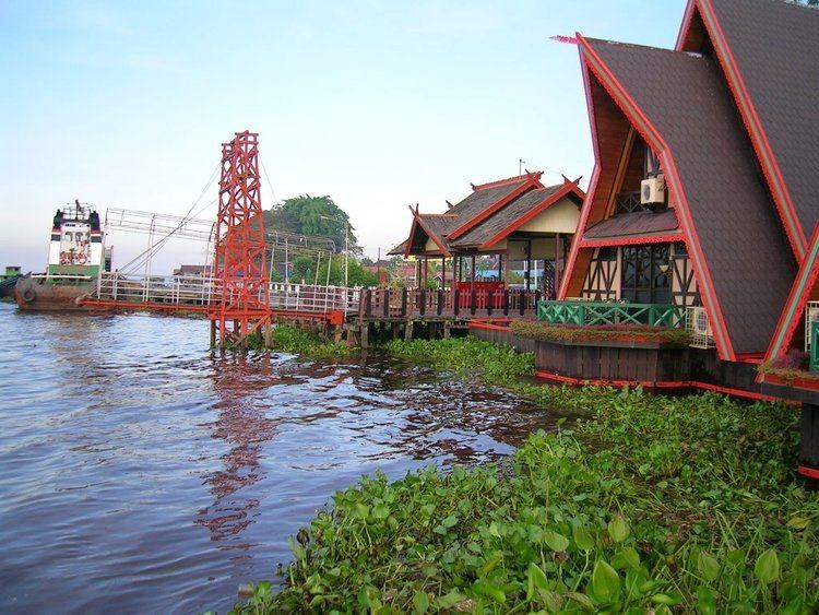
The total area of Kapuas Regency is 14,999 square km (9.77% of the area of Central Kalimantan Province), delineated into ebbtide and non-ebbtide areas. It adjoins Gunung Mas Regency, the Java Sea, Barito Selatan Regency and Kalimantan Selatan Province (Barito Kuala Regency), and Pulang Pisau Regency, to the north, south, east and west, respectively.
The north is marked by hills and mountains up to 500 metres above sea level, while the south is coastal and marshy, ebb-tidal and vulnerable to flooding. Rivers in Kapuas Regency are the Kapuas and Kapuas Murung, 600 and 66.38 km in length, respectively. There are four canals: Anjir Serapat (28 km in length;) and Anjir Tamban (25 km), each connecting Kuala Kapuas with Banjarmasin, running through Kalimantan Tengah (for 13-14 km) and Kalimantan Selatan (12-14 km); the Anjir Kalampan (14.5 km), connecting Mandomai, the capital of Kapuas Barat district, with Pulang Pisau Regency; and the Anjir Basarang (24 km), connecting Kuala Kapuas with Pulang Pisau.
Climate
Generally, the climate of Kapuas Regency is tropical and damp with the average temperature ranging between 21 and 23 degrees Celsius and a 36 degree maximum. Average rainfall is 1525 mm, with most falling in April, while the dry season is between June and September.
Administration
Kapuas Regency controls seventeen districts, including 204 villages/wards (190 villages and 14 wards). These were categorised as 44 traditional (swadaya), 61 transitional (swakarya) and 59 development (swasembada) villages, 6 isolated villages/wards (2.94 percent) and 52 poor villages/wards (25.49 percent). In 2009, there were 190 village heads, 160 village secretaries, 950 village staff, 14 ward heads and 14 ward secretaries.
Population
The 2010 census recorded 329,646 people, including 167,937 males (50.98%) and 161,503 females (49.02%). The population density was 21.96 people/km2, ranging from a high of 507.43 in Selat to only 4.05 people/km2 in Mandau Talawang.
Demographics
Religion as of the Indonesia 2010 census:
Social
Education is a development sector given priority by government (1945 Constitution mandate, as stated in article no 31 point 2), with an ultimate aim of improving the quality of human resources in Indonesia. There were 147 kindergartens in the regency, with 390 teachers and 4,181 students in 2009. In 2010, there were 390 Primary schools (including private schools), with 2,736 teachers and 40,714 students, yielding student:teacher ratio of about 14.88. There were 86 Junior High schools (state and private), with 1,085 teachers, 9,667 students and 465 classrooms; 25 Senior High schools (state and private), with 636 teachers and 5,886 students.
The region had only 38 doctors in 2010, resulting in a service ratio of 8,669.