Supriya Ghosh (Editor)

Kandy District

Updated on
Edit
Like
Comment
Share on FacebookTweet on TwitterShare on LinkedInShare on Reddit
Country
  
Sri Lanka

Time zone
  
Sri Lanka (UTC+05:30)

Province
  
Central Province

Largest city
  
Kandy

Website
  
ds.gov.lk/dist_kandy

ISO 3166 code
  
Sri Lanka

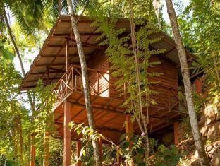
Kandy District imgagodanethotelimages296296097296097141026

Divisions
  
List Divisional Secretariats: 20 Grama Niladhari: 1,188

Area
  
1,940 km² (1,917 km² Land / 23 km² Water)

Colleges and Universities
  
University of Peradeniya

Points of interest
  
Temple of the Tooth, Kandy Lake, Sigiriya, Udawatta Kele Sanctuary, Dambulla cave temple

Destinations
  
Kandy, Horton Plains Na, Mahiyangana, Meemure, Gampola

Kandy District (Sinhalese: මහනුවර දිස්ත්‍රික්කය, Tamil: கண்டி மாவட்டம்) is a district of the Central Province of Sri Lanka. Its area is 1906.3 km². The capital of the district is Kandy.

Contents

Map of Kandy, Sri Lanka

Major Cities

  • Kandy municipal council
  • Suburbs of city of Kandy

  • Peradeniya
  • Katugastota
  • Pallekele
  • Big Towns

  • Gampola urban council
  • Nawalapitiya UC
  • Other Towns

  • Akurana
  • Alawatugoda
  • Ambatenna
  • Daskara
  • Daulagala
  • Galagedara
  • Galhinna
  • Hanguranketa
  • Hapugastalawa
  • Kadugannawa UC
  • Kundasale
  • Madawala
  • Menikdiwela
  • Pilimatalawa
  • Pussellawa
  • Talatuoya
  • Teldeniya
  • Ulapane
  • Watadeniya
  • Wattegama UC
  • Welamboda
  • References

    Kandy District Wikipedia