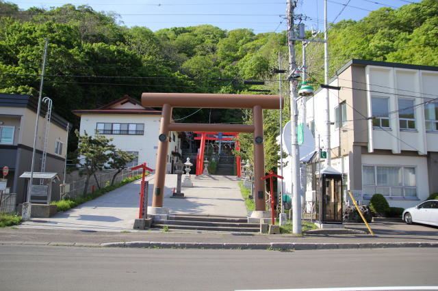
Population 1,095 (2007) | Area 147.7 km² Local time Saturday 10:03 PM | |
 | ||
Time zone Japan Standard Time (UTC+9) City hall address 81-4 Kamoenaimura, Kamoenai, Furuu-gun, Hokkaido045-0301 Website www.vill.kamoenai.hokkaido.jp Weather -1°C, Wind W at 14 km/h, 76% Humidity | ||
Kamoenai (神恵内村, Kamoenai-mura) is a village located in Furuu District, Shiribeshi Subprefecture, Hokkaido, Japan. It is the second smallest municipality in Hokkaido by population, after Otoineppu.
Contents
- Map of Kamoenai Furuu District Hokkaido Prefecture Japan
- Geography
- Neighboring towns and village
- History
- Education
- References
Map of Kamoenai, Furuu District, Hokkaido Prefecture, Japan
As of 2007, the village has an estimated population of 1,095. The total area is 147.71 km².
Geography
Kamoenai is located on the western of the Shakotan Peninsula.
Neighboring towns and village
History
Kamoenai was developed by fisheries. Kamoenai Village was merged with Akaishi Village and Sannai Village and became a Second Class Village in 1906.
Education
References
Kamoenai, Hokkaido Wikipedia(Text) CC BY-SA
