Founded 2016 Area rank 15th (in state) Area 3,652 km² | Region Deccan Time zone IST (UTC+5:30) Population 972,625 (2011) | |
 | ||
District report special debate on development of kamareddy district v6 news
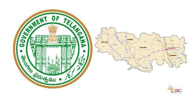
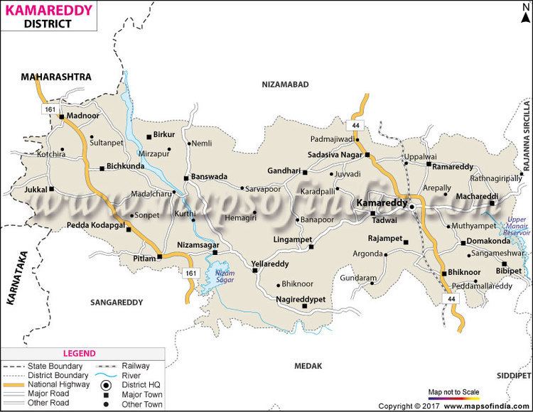
Kamareddy district is located in the northern region of the Indian state of Telangana.
Contents
- District report special debate on development of kamareddy district v6 news
- Kamareddy district
- History
- Geography
- Demographics
- Administrative divisions
- References
Kamareddy district
History
Kamareddy town was part of Nizamabad district prior to the re-organisation of districts in the state of Telangana. The Chief Minister of Telangana, K. Chandrashekar Rao passed a resolution to carve out the 10 districts. On 11 October 2016, the districts of Telangana were officially reorganized and Kamareddy district was carved out of Nizamabad district making it one of the 31 districts of the state.. Kamareddy town is known as an educational, pharmaceutical and business center. There are more than 300 pharmacies situated in Kamareddy town.
Geography
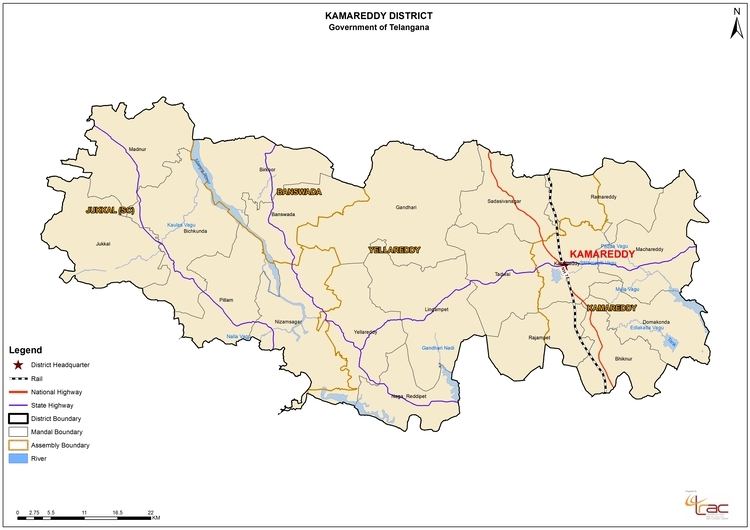
The district is spread over an area of 3,652.00 square kilometres (1,410.05 sq mi) making it the 15th largest district in the state. Kamareddy is bounded by Nizamabad district on North, Sircilla district and Siddipet district on East and South East respectively, it is bounded on South by Sangareddy district and Medak district and on the West and South West by Nanded district and Bidar district of Maharashtra and Karnataka states respectively.
Demographics
As of 2011 Census of India, the district has a population of 972,625. Kamareddy is the 15th most populous out of 31 districts of Telangana.
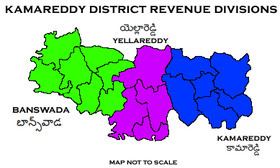
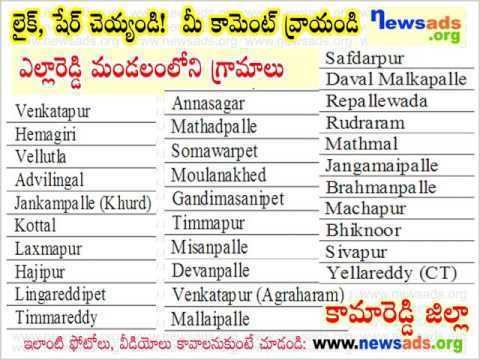
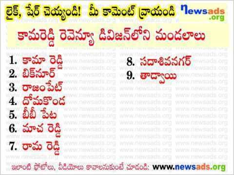
Administrative divisions
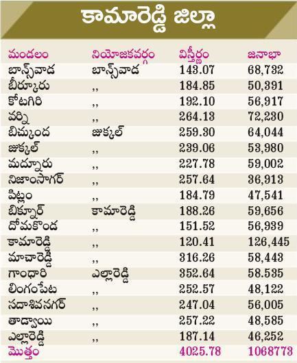
The district has three revenue divisions of Kamareddy and Banswada and Yellareddy are sub-divided into 22 mandals. N.Satyanarayana is the present collector of the district.