
PIN 503187,503190,503194 Area 8.96 km² Population 28,384 (2011) Local time Thursday 8:11 AM | Time zone IST (UTC+5:30) Telephone code 08466 Elevation 371 m Area code 08466 | |
 | ||
Weather 23°C, Wind S at 8 km/h, 57% Humidity Neighborhoods Sangameshwara Colony, Vasavi Colony, Gandhi Chowk | ||
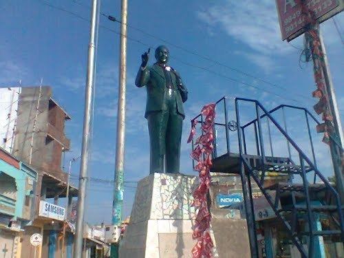
Banswada is a town and Revenue division in Kamareddy of the Indian state of Telangana.
Contents
- Map of Banswada Telangana 503187
- Geography
- Transport
- Assembly constituency
- Health services
- famous
- References
Map of Banswada, Telangana 503187
Geography
Banswada is located at 18.3833°N 77.8833°E / 18.3833; 77.8833. It has an average elevation of 371 meters (1220 feet).
Transport
Banswada is situated on Hyderabad-Bodhan State Highway No. 6. The nearest railway stations are at Nizamabad, Bodhan and Kamareddy. The Telangana State Road Transport Corporation operates bus services from Banswada to many cities and towns. Banswada has an TSRTC depot, which opened on 6 March 1993.
Assembly constituency
Banswada is an assembly constituency in Telangana. Pocharam Srinivas Reddy from the Telangana Rashtra Samithi was elected in the 2014 Assembly Elections as a Member of the Legislative Assembly (MLA), earlier he resigned for the cause of Separate State of Telangana and joined the Telangana Rashtra Samithi party on 25 March 2011. The Election Commission has re-conducted bypoll elections. This time Pocharam Srinivas Reddy has won the elections from the Telangana Rashtra Samithi party with a huge majority of nearly 50,000 votes on October 17, 2011.
Health services
There is one area hospital under Telangana Vaidya Vidhana Parishad in Kamareddy district.
famous
Pocharam Srinivas Reddy