
Vehicle registration TR Elevation 16 m Local time Saturday 2:12 PM | Time zone IST (UTC+5:30) Website tripura.gov.in Population 5,141 (2001) Number of airports 1 | |
 | ||
Weather 18°C, Wind SW at 14 km/h, 90% Humidity | ||
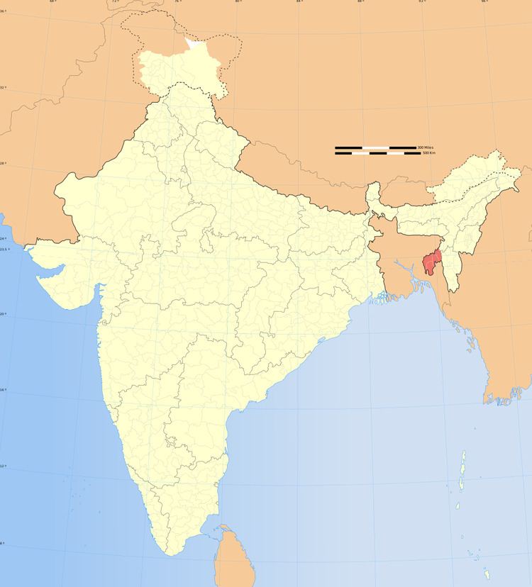
Kamalpur is a town and a nagar panchayat in Dhalai district in the Indian state of Tripura.
Contents
Map of Kamalpur, Tripura 799285
Geography
Kamalpur is located at 24.2°N 91.83°E / 24.2; 91.83. It has an average elevation of 16 metres (52 feet).
Demographics
As of 2001 India census, Kamalpur had a population of 5141. Males constitute 52% of the population and females 48%. Kamalpur has an average literacy rate of 82%, higher than the national average of 59.5%: male literacy is 84%, and female literacy is 79%. In Kamalpur, 10% of the population is under 6 years of age. Now the town has a population of about 10,668.
Politics
Kamalpur assembly constituency is part of Tripura East (Lok Sabha constituency).
Transport
Kamalpur Airport which serves Kamalpur is currently non-operational.
References
Kamalpur, Tripura Wikipedia(Text) CC BY-SA