
Country Burma Time zone MST (UTC+6.30) | Population (2009) 30 Laks Area 2,338 km² | |
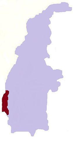 | ||
Kale Township is a township in Kale District in the Sagaing Division of Burma (Myanmar). The principal town is Kalay.
Contents
Geography and borders
Kale Township runs north–south along the Kale Valley in which lie the south flowing Neyinzaya River and the north flowing Myittha River which meet near the administrative seat of Kalemyo and flow east toward the Chindwin River. It is bounded approximately within coordinates of 22° 36´ and 23° 38´ north latitudes and between 93° 58´ and 94° 16´ east longitudes. On the west it is bounded by the foothills of the Chin Hills and on the east by the Mwegyi Mountain Range. The area of the township is 902.606 square miles (2,337.74 km2).
Kale Township is surrounded by the townships of:
Towns and villages
Bogon, Bogyi, Chaunggyauk, Chaunggyin, Haka, Hnawgon, Honnaing, Hpaungzeik, Htoma Myauk, Inbaung, Indainggale, Indainggyi, Indin, Ingyaw, Ingyun, Insein, Inthe, Kalemyo, Kanbale, Kangyi, Kantha, Kinmungyon, Kokko, Kondo, Kyaukka, Kyaukpyok, Kyawywa, Kyetpanet, Kyigon, Lamaing, Legyi, Manda, Mawlaik, Myogyigon, Myohla, Nanhannwe, Nankyisaung, Nansaungpu, Nanzalu, Natchaung, Nat-in, Natkyigon, Natmyaung, Natnan, Ngapa, Nwa, Okkan, Palata Sakan, Pinlon, Sanmyo, Segyi, Shabo, Sibin, Sihaung Ashe, Sihaung Myauk, Sihaung Taung, Sinywa, Siyin, Taukkyan, Taung-u, Thayagon, Thayettaw, Thazi, Thekondan, Udu, Uyin, Yenatha, Yeshin, Zingalaing.