
Country Uganda Elevation 1,160 m | Time zone EAT (UTC+3) Local time Saturday 2:06 AM | |
 | ||
Weather 18°C, Wind SE at 6 km/h, 93% Humidity | ||
Kalagala falls in jinja uganda
Kalagala is a town in Central Uganda. It is one of the metropolitan areas in Luweero District. Other towns in the district include: Bamunanika, Bombo, Luweero, Wobulenzi and Ziroobwe.
Contents
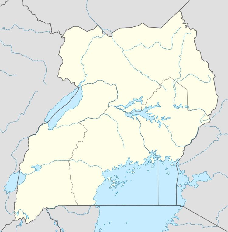
Map of Kalagala, Uganda
Location
Kalagala is located approximately 15 kilometres (9.3 mi), by road, northeast of Bombo, the nearest large town. This location lies approximately 46 kilometres (29 mi), by road, northeast of Kampala, the largest city in Uganda and the capital of that country. The coordinates of the town are:00 36 47N, 32 36 56E (Latitude:0.6130; Longitude:32.6105).
Population
The exact population of Kalagala is not known, as of November 2010.
Landmarks
The landmarks within the town limits or close to the edges of town include:
References
Kalagala Wikipedia(Text) CC BY-SA