
Seat Patakura Area 3 km² Population 1,200 (2010) | State Orissa Language Oriya, English Time zone IST (+5.30) Local time Saturday 4:29 AM Area code 06727 | |
 | ||
Weather 26°C, Wind S at 10 km/h, 91% Humidity | ||
Kalabuda (Odia: କଳାବୁଦା) is a village in Garadpur block, Kendrapara, Orissa, India, near the eastern coast.
Contents
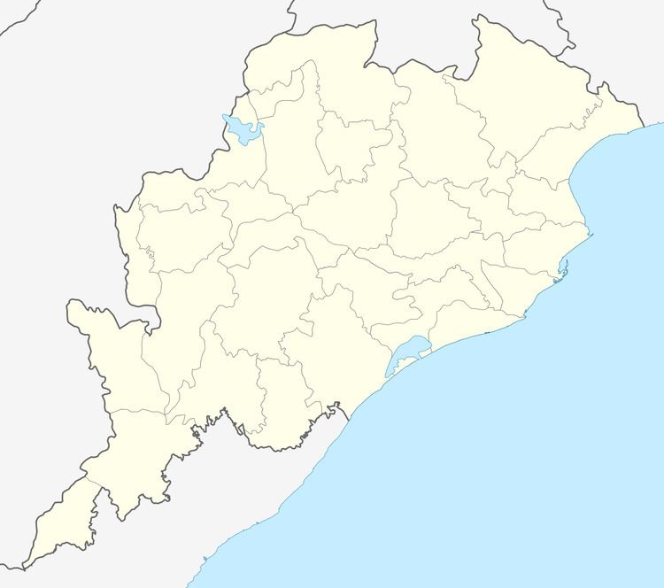
- Map of Kalabuda Odisha 754153
- Location
- History
- Temples
- Festivals
- Occupation
- Facilities
- Notable residents
- References
Map of Kalabuda, Odisha 754153
Location
Kalabuda is situated about 65 kilometres (40 mi) from Cuttack and 12 km (7 mi) from Kendrapara town, on the bank of Chitroptala river. The Kalabuda (A), Kalabuda (B) and Kalabuda (C) wards are under this village.
History
"Kalabuda" literally means "art hub" from "kala" (art) and "buda" (hub) in Oriya language). It refers to the prevalence of local artisans.
Temples
There is a temple of Lord Shiva on the east side of the village. A Sun temple, Jagannath temple, Sani temple and a Mangala temple are present. There are two ashrams, Dadhichi Muni and Kahnei Gosei.
Festivals
Dasahara, Baruni Mela and Sanimela are the main festivals. Other festivals include Ratha Jatra, Jagara and Kartika Purnima.
Occupation
Most of the residents are Government service holders. Few farmers remain.
Facilities
Kalabuda hosts a primary school and a high school. The village offers a medical facility, post office, fax facility, and Internet facility. The bridge in the village connecting Korua and Kalabuda is the main communication path in this area.