
PIN 795 103 Local time Saturday 3:04 AM | Time zone IST (UTC+5:30) Telephone code + 91 3848 Population 11,379 (2011) | |
 | ||
Weather 13°C, Wind SW at 2 km/h, 82% Humidity | ||
Kakching Khunou is an agricultural town in Thoubal district in the Indian state of Manipur. Situated at a distance of 56 km from Imphal, it is surrounded by hillocks and agricultural land. Tarang Turel, a rivulet flowing down from the eastern hills, runs through the middle of the town serving as a natural spring. It is connected to other parts of the state by the Imphal -Sugnu state highway.
Contents
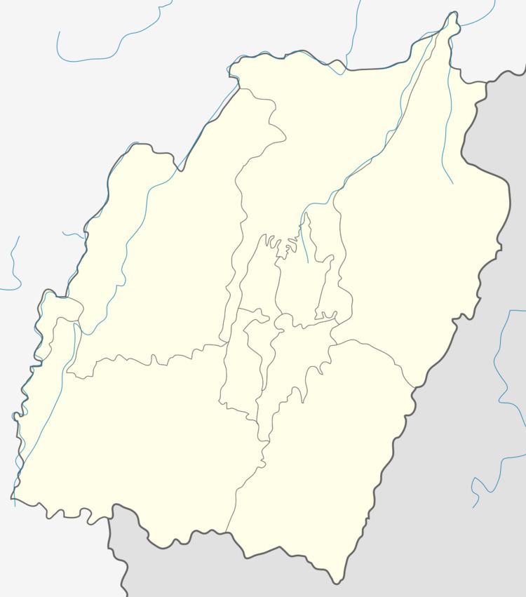
- Map of Kakching Khunou Manipur 795103
- Population
- History
- Genealogy
- Religion
- Collegesin Kakching Khunou
- Schoolsin Kakching Khunou
- Healthcare
- General information
- Some facts
- References
Map of Kakching Khunou, Manipur 795103
Population
As of 2011 India census, Kakching Khunou had a population of 11,379. Males constitute 52% of the population and females 48%. It has an average literacy rate of 66.74% (Male literacy: 75.43%, and female literacy: 57.27%), lower than the national average of 74.04%. In Kakching Khunou, 12% of the population is under 6 years of age.
History
As the name clearly indicates, the people inhabiting Kakching Khunou had once migrated or bifurcated from Kakching. It is believed that these people under the leadership of Khamlangba first came from the west (of Manipur) and settled down at Uripok, Imphal though their pre-historic records could not be traced. These laborious people in search of their iron-ore moved from Uripok towards the south and settled for sometime near Kshetri Leikai of present Thoubal, during the reign of Charailongba (49th King of Manipur 1697–1709 A.D.) Shortly thereafter, they migrated to Kakching Khuman near Pallel. During the reign of Garib Niwas (50th King of Manipur 1709–1748 A.D.) Kakching was governed by Budhiraj. In the year 1790, during the reign of Bheigyachandra, they shifted to the present Kakching site while some sections moved further south and settled at Kakching Khunou. During the reign of Chourajit in 1726(Saka) one Leimapokpam Chandra was transported as Loi at Kakching Khunou which is evident of the village having existed.
The Historical evidence of these people can easily be traced from many authentic books and records. Special mention in this connection can be made of that of Captain R. Boileau Pemberton's "Report on the Eastern Frontier of British India,1835" in which he described at page 30
"..Kokshing lungsaee, Kokshing Khunao, Kokshing Khoolen and Langathel are the principal villages at which the iron works are carried on, under the direction of Cheiftains [sic?] called Budhiraj Rajah, who claims for his ancestors the merit of having first discovered the existence of iron-ore in the valley and of rendering it subserve into the use of man".
And these professional people were also governed through the leadership of one Khullakpa as Hudson clearly mentioned in his book "The Meitheis" (page 72). In Gazetteer of Manipur Capt. E.W. Dun clearly stated the settlement of Kakching Khunou village. Moreover, all the Kakching Villages in manipur worshipped Khamlangba and Sekmai Ningthou as their Umanglai (Forest God), which are the symbols of iron.
Genealogy
The population of kakching Khunou was composed of 15 Yumnaks (surnames) each Yumnak settling as a group under one elder known as Piba, altogether entertwined and also intermingled with one another as up to 1886. The 15 Yumnaks are :
Moreover, the following Brahman clans who settled down permanently as Sevayets of the Deities, worshiped by these people when they were converted into Hinduism, are also found in kakching Khunou. The clans are –
In the later years many individuals of different clans came to Kakching Khunou and settled down permanently. They are:
Religion
The pre-historic religion of the Kakchings prior to their arrival at Uripok can not be traced, but it can definitely be counted that they adopted the Meitei religion before their conversion into Hinduism. In describing the Kakching Lois, Capt. E.W.Dun in his book, Gazetteer of Manipur (page 129) had quoted the writings of Sir James Johnstone in connection with their religion,
"..they were Lois but now called themselves Hindoos, having sometime since 1867 been adopted into the Hindoo community by the Rajah, and they give themselves all the airs of Hindoos!"
The people of Kakching Khunou also worship "Ibudhou Khamlangba" and "Ibudhou Sekmai Ningthou" as their Umanglai (Forest God) which are the symbols of iron.
Religions: Hindu, Meitei, Christian etc.
College(s)in Kakching Khunou
School(s)in Kakching Khunou
Healthcare
There is a Primary Health Center at Kakching Khunou.
General information
The nearest Post Office and Police Station are at Kakching and Waikhong respectively. There is a Branch Post Office (B.P.O.) at Kakching Khunou.
The bordering villages are Waikhong, Wangoo, Wangjing Khunou, Lengangching (Lamkang Naga Village), New Chayang (Lamkang Naga Village), Aihang (Kuki Village) and Tokpaching.