
Country India District Barddhaman Lok Sabha constituency Asansol Population 27,275 (2011) | Time zone IST (UTC+5:30) Vidhan Sabha constituency Raniganj Local time Saturday 2:35 AM | |
 | ||
Weather 22°C, Wind E at 3 km/h, 56% Humidity | ||
Kajora is a census town in Andal CD Block in Durgapur subdivision of Barddhaman district in the Indian state of West Bengal.
Contents
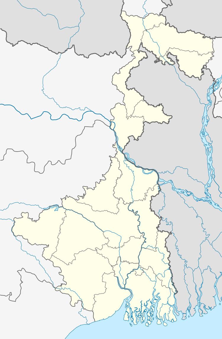
Map of Kajora, West Bengal
Geography
Kajora is located at 23°36′48″N 87°10′57″E.
The Asansol-Durgapur region is composed of undulating latterite soil. This area lies between two mighty rivers – the Damodar and the Ajay. They flow almost parallel to each other in the region – the average distance between the two rivers is around 30 km. For ages the area was heavily forested and infested with plunderers and marauders. The discovery of coal led to industrialisation of the area and most of the forests have been cleared.
Demographics
As per the 2011 Census of India Kajora had a total population of 27,275, of which 14,444 (53%) were males and 12,831 (47%) were females. Population below 6 years was 3,269. The total number of literates in Kajora was 16,539 (68.90% of the population over 6 years).
As of 2001 India census, Kajora had a population of 24,955. Males constitute 55% of the population and females 45%. Kajora has an average literacy rate of 54%, lower than the national average of 59.5%: male literacy is 62%, and female literacy is 43%. In Kajora, 12% of the population is under 6 years of age.
Economy
Kajora is a coal mining area. One of the area headquarters of Eastern Coalfields Ltd., a subsidiary of Coal India Limited is located here.
Collieries in the Kajora Area of Eastern Coalfields are: Madhupur, Madhusudanpur, Nabakajora, Madhabpur, Parascole, Jambad, Khas Kajora, Lachipur, Ghanashyam and Central Kajora.
Transport
Kajora is on Grand Trunk Road or NH 19. Kajoragram railway station is 5 km from Andal on the Andal-Sainthia Branch Line of Eastern Railway.
Education
Kajora has six primary, one secondary and one higher secondary schools.