
Country Nepal Time zone NPT (UTC+5:45) Zone Seti Zone | Area 3,235 km² | |
 | ||
Website www.facebook.com/kailali Region Far-Western Development Region, Nepal | ||
Kailali tikapur jhadap
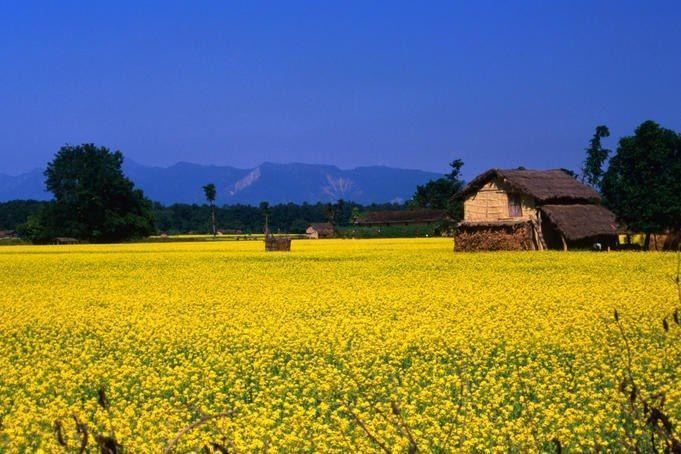
Kailali District (Nepali: कैलाली जिल्ला Listen ), a part of Province No. 7 in Terai plain, is one of the seventy-five districts of Nepal.
Contents
Map of Kailali, Nepal
Overview
The district, with Dhangadhi as its district headquarters, covers an area of 3,235 square kilometres (1,249 sq mi) and has a population (2001) of 616,697 and (2011) of 775,709. Dhangadhi is a center of attraction of not only Kailali district but of the whole seti zone. The district also contains Tikapur Park, one of the biggest parks in Nepal, and Godha-Ghodi Tal (lake) located at Sukhad Kailali. An aircraft museum was established in Dhangadhi by Pilot Bed Upreti in 2014 which is the only museum of its kind in the Country.
Municipalities
- Dhangadhi Sub-Metropolitan City
- Attariya
- Tikapur
- Lamki Chuha
- Ghodaghodi
- Bhajani-Trishakti
VDCs
References
Kailali District Wikipedia(Text) CC BY-SA