
Post code 10900 Elevation 109 m Area code 091 | Zone Seti Zone Time zone NST (UTC+5:45) Area 103.7 km² Local time Monday 10:15 PM | |
 | ||
Region Far Western Development Region Weather 18°C, Wind N at 2 km/h, 38% Humidity | ||
Dhangadhi is a Sub Metropolitan city in Far western Nepal. It is the headquarter of Kailali District in the Seti zone located in the Far Western Development Region of Nepal on the border of Uttar Pradesh state, India near the village Gauriphanta. Dhangadhi was established in 1976 and is divided into 14 wards.
Contents
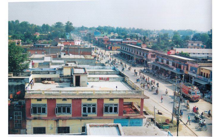
- Map of Dhangadhi Nepal
- Services
- Road
- Air
- Airlines Serving Dhangadhi
- Climate
- Colleges in Dhangadhi
- Tourist site
- References
Map of Dhangadhi, Nepal
At the time of the 2011 Nepal census it had a population of 104,047 (53,237 males and 50,810 females) residing in 21,059 individual households, among which 12% belong to the Dalit caste, 36% are ethnic minorities and the remaining 52% compose of Brahmins, Kshetris and other castes.The annual population growth rate of Dhangadhi municipality is 5.16%. After being declared Sub Metropolitan City incorporating Fulbari and Urma VDCs,the population of the city reaches to 137,666 and number of wards have become 20.
It is the 10th biggest city of Nepal by population. It is the major city of Far western region of Nepal along with Bhimduttanagar (Mahendranagar). has an area of 231.53 km2 and shares its boundary with Attariya Municipality in the north and west, Mohana River in the south and Khutiya River in the east.
Dhangadhi became the first sub-metropolitan city in the Far-West after government upgraded it from municipality status on 18 September 2015 and incorporated Fulbari and Urma VDCs. The 11th Municipal Council meeting of Dhangadhi had decided to fulfill all prerequisites for becoming a sub-metro. Last July, the former municipality and district-level political mechanism had endorsed the proposal for forming a sub-metro. Kailali District Administration Office had in turn endorsed the proposal and forwarded it to the Ministry of Federal Affairs and Local Development.
Services
Dhangadhi is the main business centre of the Seti Zone. Dhangadhi is the major business hub for Far Western Region of Nepal and is the major provider of education, health and employment opportunities in the west Nepal. CP Hospital Private Limited, Seti Zonal Hospital, Navjeevan Hospital and other small scale hospitals provide health care. Similarly, Kailali Multiple Campus, Sudur Paschimanchal Campus, Bhageswor Academy for Health Science, Aishwarya Multiple Campus, Dhangadhi Engineering College, Western International Business School, Nepal Western Academy and other colleges provide advanced education.
Road
Dhangadhi is well connected with other major cities of Nepal and the Indian state of Uttar Pradesh. Indian and Nepalese nationals may cross the international border without restrictions, however there is a customs checkpoint for goods and third country nationals. Local transport includes Cycle Rickshaws, Taxis and Public City Buses.
Air
Dhangadhi Airport is located 10 km from the administrative center and about 660 kilometers west of Kathmandu. The runway has been extended to 1,524 metres (5,000 ft) length and blacktopped to accommodate Fokker 100 aircraft.
Airlines Serving Dhangadhi
Climate
The highest temperature ever recorded in Dhangadhi was 46.4 °C (115.5 °F) on the 5th June 1995, while the lowest temperature ever recorded was 0.0 °C (32.0 °F) on the 11th January 1985 .
Colleges in Dhangadhi
Schools
Shree Navadurga Secondary School, Dhangadhi-2, Bhansar