Time zone IST (UTC+5:30) Population 600 (2001) | Taluk Gundlupet PIN 571111 Area code 08229 | |
 | ||
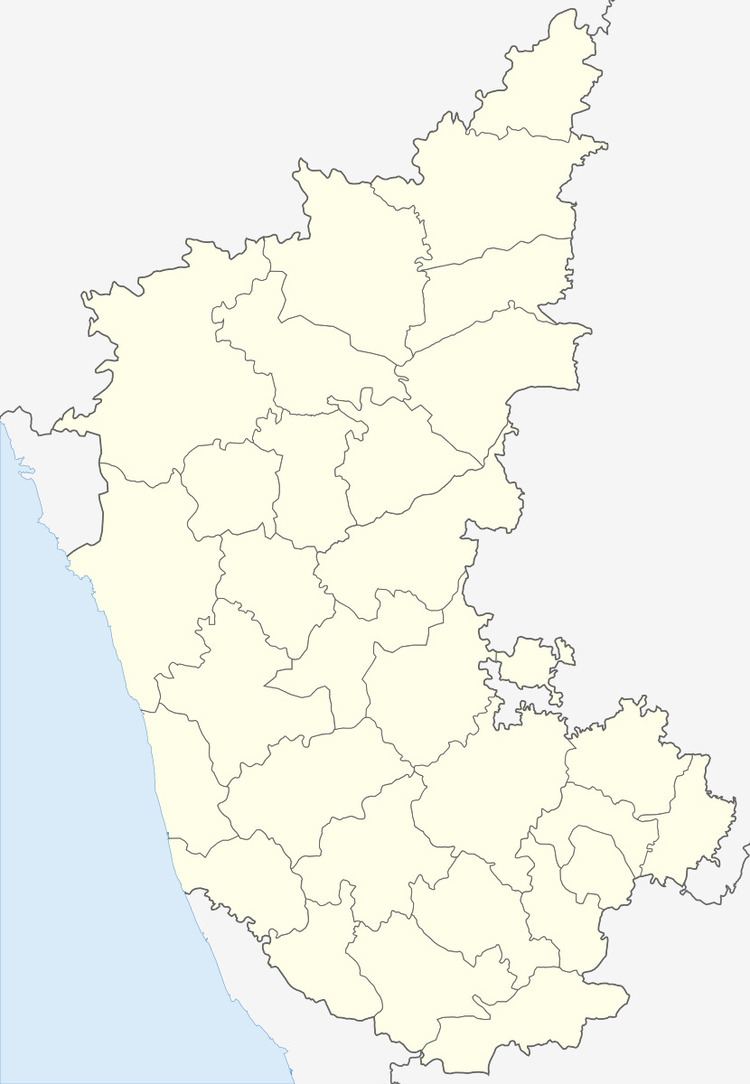
Kaggalada Hundi or Kaggaladahundi (Kannada: ಕಗ್ಗಳದಹುಂಡಿ) is a village in Terakanambi Hobli Gundlupete Taluk Chamarajanagar district in the southern state of Karnataka, India.
Contents
Agriculture
Main crops are jowar, ragi, turmeric, sugar cane, onion and banana. Farmers grow vegetables like tomato, beans. It is a fairly dry region on the rain-shadow side of the Western Ghats with an average annual rainfall of about 600 mm (almost all of it falling during the monsoon months of July through October. The natural vegetation of the area is Dry Thorn Forest, as can be seen in the nearby reserve forests on the boundary of Bandipur National Park.
Famous places near by
1. Triyambakeshwara Temple - 2 km
2. Paarvati Betta - 5 km
3. Terakanambi Temples - 5 km
4. Padaguru Lingaytha math - 6 km
5. Narasamangala Shiva temple - 12 km
6. Huluganamuradi Venkataramana betta - 13 km
7. Himavad Gopalswamy hills - 22 km
8. Bandipur National Park - 25 km
Road
Kaggaladahundi is around 7 km from the taluk headquarters, Gundlupete and 34 km from the district headquarters, Chamarajanagar. It's located in the State Highway SH-81 (Yelandur - Gundlupet road). From Bengaluru, one has to take the National Highway NH-275 to reach Mysuru and then take NH-766 to reach to Gundlupete and then take State Highway SH-81 to reach to Kaggalada hundi. The total distance from Mysuru to Kaggaladahundi is around 66 km.
Rail
The nearest railway station is in Chamarajanagara. Numerous trains run from Bengaluru and Mysore to Chamarajanagara.
Air
The nearest airport is Mysore Airport.
