
Population 28,989 (2001) ISO 3166 code ISO 3166-2:IN | Time zone IST (UTC+5:30) Local time Friday 8:14 PM | |
 | ||
Weather 29°C, Wind NW at 8 km/h, 75% Humidity | ||
Kadirur is a census town within the Thalassery Taluk of Kannur District in the State of Kerala, India. Kadirur is located about 8 km (5 Miles) from the Thalassery Township on the Tellicherry-Mysore road.
Contents
Map of Kadirur, Kerala 670642
Demographics
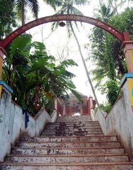
As of 2011 India census, Kadirur had a population of 29,739. Males constitute 47% of the population and females 53%. Kadirur has an average literacy rate of 96%, higher than the national average of 59.5%: male literacy is 97%, and female literacy is 95%. In Kadirur, 10% of the population is under 6 years of age. Sree sooryanarayana temple and Tharuvanatheru sree mahaganapathi temple are major temples in kadirur. kadirur means 'the village of sun'.Nearest town is Thalassery.
Schools in Kadirur
1. Govt.VHSS Kadirur 2. Tharuvanatheru UP school Kadirur 3. Govt VHSS Kakkara 4. Moppila Govt. UP school 5th Mile Kadirur
Transportation
The national highway passes through Thalassery town. Goa and Mumbai can be accessed on the northern side and Cochin and Thiruvananthapuram can be accessed on the southern side. The road to the east of Iritty connects to Mysore and Bangalore. The nearest railway station is Thalassery on Mangalore-Palakkad line. Trains are available to almost all parts of India subject to advance booking over the internet. There are airports at Mangalore and Calicut. Both of them are international airports but direct flights are available only to Middle Eastern countries.