
Website Official Map of Kachua | Time zone BST (UTC+6) Area 235.8 km² | |
 | ||
Kachua (Bengali: কচুয়া) is an Upazila of Chandpur District in the Division of Chittagong, Bangladesh.
Contents
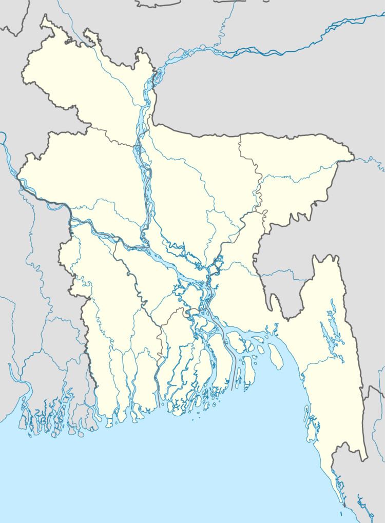
Map of Kachua Upazila, Bangladesh
Geography
Kachua is located in between 23.15 and 23.28 degrees of North latitudes and 90.48 to 91.01 degrees of East longitudes. ( 23.3500°N 90.8917°E / 23.3500; 90.8917 ) . It has 50,262 households and a total area of 235.82 km².
Demographics
According to the 1991 Bangladesh census, Kachua had a population of 293,683. Males constituted 49.7% of the population, and females 50.3%. The population aged 18 or over was 135,448. Kachua had an average literacy rate of 34.1% (7+ years), against the national average of 32.4%.
Administration
Kachua has 12 Unions/Wards, 173 Mauzas/Mahallas, and 238 villages. Ashrafpur is the largest village in the upazila.Area: 238 sq. km Population (approximately): 335,000 .Population Density: 1255 person per sq. km. Total Mouzas: 168 .Literacy rate: 42.5%. Rivers: Baleshwar, Bhairab, Bishkhali.