Elevation 1,540 m | Area 210 km² Local time Friday 1:32 PM | |
 | ||
Weather 24°C, Wind SE at 13 km/h, 63% Humidity | ||
Kabarore is a town in Rwanda. It is the headquarters of Gatsibo District.
Contents
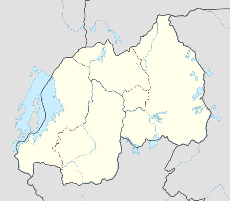
Map of Kabarore, Rwanda
Location
Kabarore is located in Gatsibo District, Eastern Province, at the western edge of Akagera National Park, about 60 kilometres (37 mi), west of the International border with the Republic of Tanzania. Its location lies about 43 kilometres (27 mi), by road, north of Kayonza, on the Kayonza-Nyagatare Road. The coordinates of the town are:1° 37' 15.60"S, 30° 23' 6.00"E (Latitude:-1.6210; Longitude:30.3850).
Population
The exact population of Kabarore is 50,288.
Points of interest
The points of interest within the town limits or close to the edges of town include:
References
Kabarore Wikipedia(Text) CC BY-SA
