
Time zone EET (UTC+2) Local time Friday 1:00 PM | Charter 1875 Municipal tax rate 20% Region Northern Savonia | |
 | ||
Area rank 126th largest in Finland Weather 1°C, Wind S at 21 km/h, 94% Humidity | ||
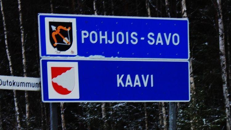
Kaavi is a municipality of Finland.
Contents
- Map of 73600 Kaavi Finland
- Origin of the name
- Lakes and rivers
- Swamps
- Bedrock
- Sights and activities
- Twin towns
- People
- References
Map of 73600 Kaavi, Finland
It is located in the province of Eastern Finland and is part of the Northern Savonia region. Kaavi is also a part of historical Karelia. The municipality has a population of 3,193 (31 March 2016) and covers an area of 674.02 square kilometres (260.24 sq mi) of which 115.49 km2 (44.59 sq mi) is water. The population density is 4.74 inhabitants per square kilometre (12.3/sq mi). There is 60 km to Kuopio and 90 km to Joensuu. Neighbouring municipalities are Kuopio, Juuka, Outokumpu, Polvijärvi and Tuusniemi.
The municipality is unilingually Finnish.
Origin of the name
In language of Sami (also spelled Sámi or Saami) the word kaavi means a boat harbour.
Lakes and rivers
There is 261 lakes, example Rikkavesi, Kaavinjärvi, Saarijärvi, Rauvanjärvi and Sivakkajärvi. Rivers, example Rauvanjoki, Sivakkajoki, Syrjäjoki and Vaikkojoki.
Swamps
86 swamps covers about 8% about municipalitys area. Swamps shape is typically small, narrow and broken because those have formed betveen hills.
Bedrock
At Kaavi's bedrock have been founded many minerals, example copper, zinc and cobalt.
The Finnish-Australian mining company Malmikaivos Oy found diamonds from bedrock of Kaavi in 1990's. One of the stones from the kimberilite of Kaavi (Lahtojoki deposit) has record high amount of diamonds.
Under planning is to establish first diamondmine in europe.