Area code 023 | Zone Mechi Zone | |
 | ||
Juropani (जुरोपानी) is a village development committee of the Jhapa district of Nepal.
Contents
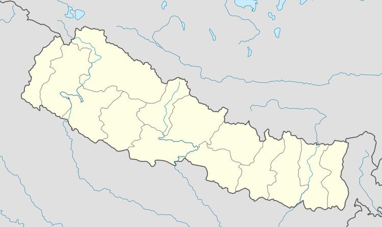
Map of Juropani 57200, Nepal
Since, 2073 BS this VDC has become Gauradaha Municipality.
Location
It lies in the southeastern border of Nepal with India. It is located in the southwestern part of the Jhapa District and bordered by Maharanijhoda VDC in the west, Khajurgachhi and Gaurigunj VDC in the South, Gauradaha VDC in the North, Korobari and Mahabhara VDC in the east. It is in the Terai of Nepal. There are 9 wards within this village.
Population
At the time of 2011 Nepal census, it had population of 10,624 with 2,166 living in individual households. Male population was 5,269 and Female population was 5,355. Mostly Brahmans, Chhetri, Jaisi, Kumai, Rajbansi, Sataar(Santhaal) etc. are living here.
Almost all the villagers are dependent on agriculture and the main crop they grow is rice in one season. Other crops are also grown but negligible. Most of the Sataar cast are without land. They work in other peoples land.
Market
Gwaldubba is a place for the trade in this village. Each Tuesday and Friday there is gathering of people for the buying and selling of their product known as Gwaldubba Bazar.
