
Airport type Public Elevation AMSL 38 ft / 12 m 11,000 3,353 Code FAJ | 7/25 11,000 3,353 Asphalt/Concrete Phone +1 787-534-4101 | |
 | ||
Address Roosevelt Roads, Ceiba 00735, Puerto Rico Similar Antonio Rivera Rodrígue, Vieques Air Link, El Conquist A Waldorf, Fajardo Ferry Terminal, Humacao Regional Airport | ||
Landing at ceiba s jos aponte de la torre airport
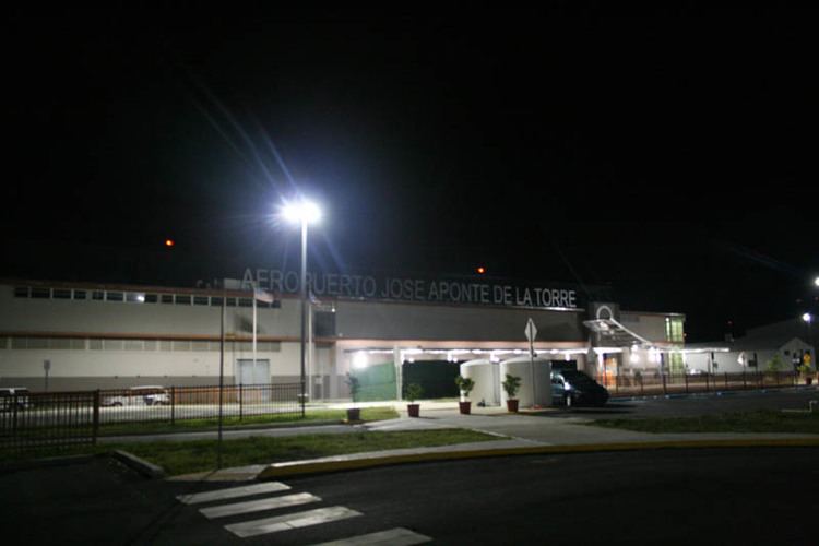
José Aponte de la Torre Airport (IATA: NRR, ICAO: TJRV, FAA LID: RVR) is a public use airport owned by Puerto Rico Ports Authority and located 2 NM (3.7 km; 2.3 mi) from the central business district of Ceiba, a town in Puerto Rico. It is included in the National Plan of Integrated Airport Systems for 2011–2015, which categorized it as a general aviation airport. The airport also offers scheduled passenger service via three commercial airlines to the islands of Vieques and Culebra, Puerto Rico.
Contents
The airport opened in November 2008 on the site of the former Roosevelt Roads Naval Station, replacing the Diego Jiménez Torres Airport (IATA: FAJ, ICAO: TJFA, FAA LID: X95) in Fajardo. The airport is being used as a testing site for Google Loon, a project to deliver high-speed internet using hot air balloons.
Facilities
José Aponte de la Torre Airport covers an area of 1,646 acres (666 ha) at an elevation of 38 ft (12 m) above mean sea level. It has one operating runway designated 7/25 with asphalt and concrete surface measuring 11,000 ft × 150 ft (3,353 m × 46 m). There is also a closed runway designated 18/36 which measures 5,800 ft × 100 ft (1,768 m × 30 m). There is a mechanics school located at the airport, Puerto Rico Aviation Maintenance Institute (PRAMI). American Airlines donated an MD-82 to the mechanics school located at the airport. Here are pictures of the American Airlines MD-82, which sits on closed runway 18/36.
Airlines and destinations
The following airlines offer scheduled passenger service at this airport: