
District Kamrup Metropolitan District Ri-Bhoi Local time Tuesday 12:51 AM | Time zone IST (UTC+5:30) | |
 | ||
Weather 18°C, Wind S at 5 km/h, 71% Humidity University Shillong Engineering and Management College | ||
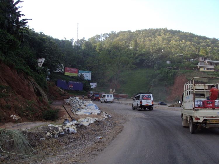
Jorabat is a village, suburban fringe and a junction which covers area under both Ri-Bhoi district, Meghalaya, India and East Kamrup district, Assam, India, with greater parts in East Kamrup district of Assam and lesser southern parts in Ri-Bhoi district of Meghalaya.
Contents
Map of Jorabat, Meghalaya
Geography
The village is sandwiched between south Brahmaputra Valley and northern parts of East Khasi Hills.
Ethnic groups
Though village mostly lies in East Kamrup district of Assam, being a transportation hub area is conglomeration of communities living in harmony and peace which is hard to find in the rest of North east India where hostilities between various ethnic and religious group is a common scenario. A majority of the people living in Jorabat are businessmen. The Nepali and Bihari people constitute a majority in the area whereas Assamese, Khasi, Bengali, Punjabi, Garo and religious minorities makes sizable part of demography.
Places of interest and importance
Transport
National Highway 40 links Jorabat to Jowai via Shillong and National Highway 37 passes through Jorabat and connects parts of East Assam with Guwahati.