PIN 854328 Elevation 67 m Area code 06455 | Time zone IST (UTC+5:30) Telephone code 06455 Population 39,281 (2011) Local time Sunday 11:27 AM | |
 | ||
Weather 23°C, Wind W at 18 km/h, 53% Humidity | ||
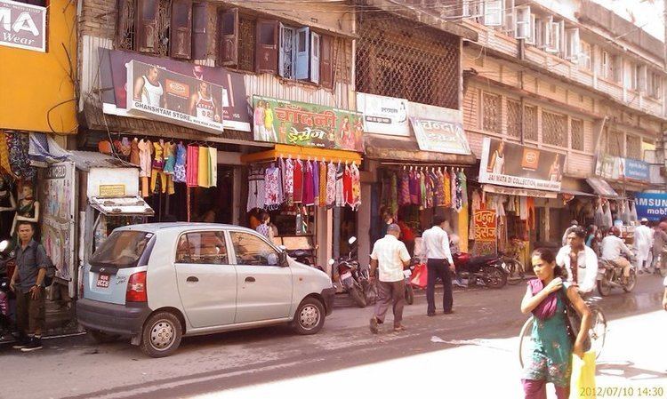
Biratnagar old jogbani road
Jogbani is a town, a notified area and a railway station in Araria District of Bihar state, India. It lies on the Indo-Nepal border with Morang District, Koshi Zone and is a gateway to Biratnagar city. There is a customs checkpoint for goods at the border. Indian and Nepalese nationals cross without restrictions.
Contents
- Biratnagar old jogbani road
- Map of Jogbani Bihar
- Transport
- Jogbani ICP Project
- List of Bank in Jogbani
- List of Banks ATM
- List of Schools in Jogbani
- See also
- References
Map of Jogbani, Bihar
Transport
Jogbani is served by two railway lines: one Broad Gauge line branches from Katihar railway junction via Purnia in the south and the other line from Saharsa from the west via Forbesganj (see Barauni-Katihar section). Seemanchal Express train connects Jogbani to Anand Vihar (Delhi) and the Kolkata-Jogbani Express train connects it to Kolkata.
Jogbani is connected to the rest of India by an all-weather metalled highway, National Highway 57A, which links Jogbani to Forbesganj, located 15 km (9.3 mi) away.
