
Capital Kurumul Area 4,798 km² | Formation 2012 Time zone AEST (UTC+10) Founded 2012 | |
 | ||
Districts ListAnglimp-South Waghi DistrictJimi DistrictNorth Waghi District | ||
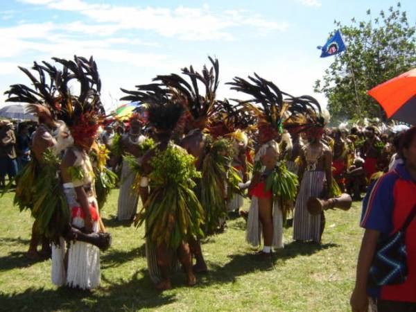
Villagers build bush track jimi district jiwaka province to kerowagi district chimbu province
Jiwaka is a province of Papua New Guinea. The provincial capital is temporarily located in Kurumul. Mostly all provincial matters are handled in Kurumul while few are handled in Minj.
Contents
- Villagers build bush track jimi district jiwaka province to kerowagi district chimbu province
- Map of Jiwaka Province Papua New Guinea
- Districts and LLGs
- Members of the National Parliament
- References
Map of Jiwaka Province, Papua New Guinea
The province covers an area of 4,798 km², and there are 343,987 inhabitants (2011 census final figures—2000 census 185,641). Jiwaka province officially came into being on 17 May 2012, comprising three districts previously part of Western Highlands Province. Mount Wilhelm, the tallest mountain in Papua New Guinea, is on the border of Jiwaka.
"Jiwaka" is a portmanteau word combining the first two letters each of Jimi, Waghi and Kambia. The inclusion of the Anglimp Rural LLG in Jiwaka was controversial, and will be reviewed after the 2012 General Election.
Districts and LLGs
There are three districts in the province. Each district has one or more Local Level Government (LLG) areas. For census purposes, the LLG areas are subdivided into wards and those into census units.
Members of the National Parliament
The province and each district is represented by a Member of the National Parliament. There is one provincial electorate and each district is an open electorate. The following table lists Members before and after the 2012 general election.