
Country United States Time zone Eastern (EST) (UTC-5) Area 87 ha Population 113 (2010) | Elevation 2,200 ft (700 m) ZIP code 21536 Local time Friday 6:13 PM | |
 | ||
Weather -6°C, Wind NW at 26 km/h, 81% Humidity | ||
Jennings is an unincorporated area and census-designated place (CDP) in Garrett County, Maryland, United States. At the 2010 census, the population was 113.
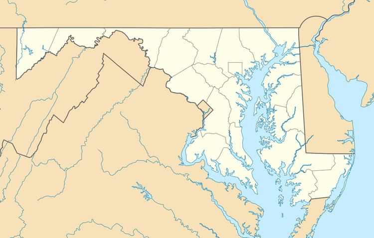
Map of Jennings, MD 21536, USA
The community is in northern Garrett County on Maryland Route 495, 4 miles (6 km) south of Grantsville and 25 miles (40 km) northeast of Oakland, the county seat. Jennings is in the valley of the South Branch of the Casselman River, 3 miles (5 km) west of the Eastern Continental Divide. Water runoff from Jennings flows through the Casselman River north then west to the Youghiogheny River, then to the Monongahela, Ohio, and Mississippi rivers, before flowing to the Gulf of Mexico.
According to the U.S. Census Bureau, the Jennings CDP has an area of 0.34 square miles (0.87 km2), all land.
References
Jennings, Garrett County, Maryland Wikipedia(Text) CC BY-SA