
Country United States Elevation 302 m Local time Friday 2:15 PM | GNIS feature ID 0453488 Area 91.06 km² Population 770 (2010) | |
 | ||
Weather 2°C, Wind NW at 27 km/h, 39% Humidity | ||
Jefferson Township is one of twelve townships in Jay County, Indiana, United States. As of the 2010 census, its population was 770 and it contained 309 housing units.
Contents
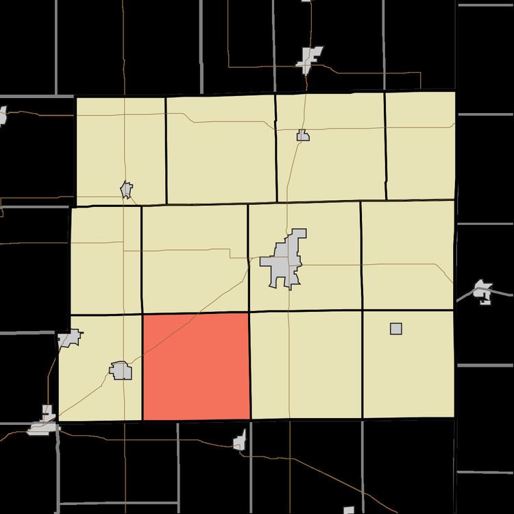
- Map of Jefferson Township IN USA
- History
- Geography
- Unincorporated towns
- Adjacent townships
- Cemeteries
- Major highways
- Airports and landing strips
- References
Map of Jefferson Township, IN, USA
History
Jefferson Township was organized in 1837.
Geography
According to the 2010 census, the township has a total area of 35.16 square miles (91.1 km2), of which 35.13 square miles (91.0 km2) (or 99.91%) is land and 0.03 square miles (0.078 km2) (or 0.09%) is water. The streams of Bost Run, Como Run, Jeff Run, Jutte Run, New Mount Run and Vale Run run through this township.
Unincorporated towns
Adjacent townships
Cemeteries
The township contains seven cemeteries: Bost, Flesher, New Mount Pleasant, Powers, Stephens, Stratton and Wentz.
Major highways
Airports and landing strips
References
Jefferson Township, Jay County, Indiana Wikipedia(Text) CC BY-SA