
Country United States GNIS feature ID 453973 Local time Sunday 9:23 PM | FIPS code 18-80072 Elevation 311 m Population 1,109 (2010) | |
 | ||
Weather 20°C, Wind S at 24 km/h, 39% Humidity Area 95.52 km² (95.18 km² Land / 34 ha Water) | ||
Ward Township is one of eleven townships in Randolph County, Indiana. As of the 2010 census, its population was 1,109 and it contained 495 housing units.
Contents
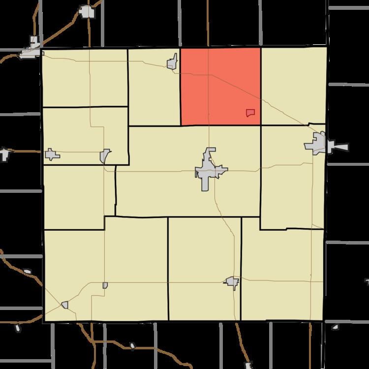
Map of Ward Township, IN, USA
Ward Township was established in 1820.
Geography
According to the 2010 census, the township has a total area of 36.88 square miles (95.5 km2), of which 36.75 square miles (95.2 km2) (or 99.65%) is land and 0.13 square miles (0.34 km2) (or 0.35%) is water.
Cities and towns
Unincorporated towns
References
Ward Township, Randolph County, Indiana Wikipedia(Text) CC BY-SA