
Country United States Elevation 291 m Local time Wednesday 8:29 PM | GNIS feature ID 0453795 Area 70.6 km² Population 4,518 (2010) | |
 | ||
Weather 12°C, Wind E at 23 km/h, 59% Humidity | ||
Richland Township is one of twelve townships in Jay County, Indiana, United States. As of the 2010 census, its population was 4,518 and it contained 2,130 housing units.
Contents
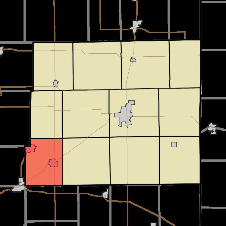
- Map of Richland Township IN USA
- History
- Geography
- Cities and towns
- Adjacent townships
- Cemeteries
- Major highways
- References
Map of Richland Township, IN, USA
History
Richland Township was organized in 1838.
Geography
According to the 2010 census, the township has a total area of 27.26 square miles (70.6 km2), of which 27.23 square miles (70.5 km2) (or 99.89%) is land and 0.03 square miles (0.078 km2) (or 0.11%) is water. The streams of Boot Run, Redkey Run and Thong Run run through this township.
Cities and towns
Adjacent townships
Cemeteries
The township contains one cemetery, Hillcrest.
Major highways
References
Richland Township, Jay County, Indiana Wikipedia(Text) CC BY-SA