
Country United States GNIS feature ID 453568 Local time Friday 2:39 AM | FIPS code 18-43650 Elevation 266 m Population 7,899 (2010) | |
 | ||
Weather -2°C, Wind SE at 8 km/h, 58% Humidity Area 107.4 km² (106.7 km² Land / 73 ha Water) | ||
Licking Township is one of four townships in Blackford County, Indiana. As of the 2010 census, its population was 7,899 and it contained 3,885 housing units. The township was named after Lick Creek and a salt lick in the area. The first settlers in what became Blackford County arrived in the Lick Creek area in 1831.
Contents
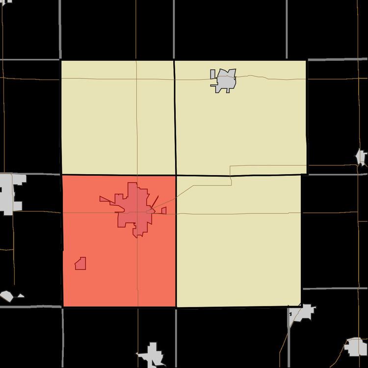
- Map of Licking Township IN USA
- Geography
- Cities and towns
- Unincorporated towns
- Major highways
- Cemeteries
- References
Map of Licking Township, IN, USA
Geography
According to the 2010 census, the township has a total area of 41.46 square miles (107.4 km2), of which 41.18 square miles (106.7 km2) (or 99.32%) is land and 0.28 square miles (0.73 km2) (or 0.68%) is water. Cains Lake and Lake Mohee are in this township. Lick Creek flows through the township.
Cities and towns
Unincorporated towns
Major highways
Cemeteries
The township contains at least seven cemeteries: Cunningham, Greenlawn, Independent Order of Odd Fellows, Lion, Sprague, Stewart, and Willman (a.k.a. Hartford City Cemetery).