
Country United States Elevation 220 m Local time Wednesday 9:08 AM | GNIS feature ID 453110 Area 85.55 km² Population 819 (2010) | |
 | ||
ZIP codes 47923, 47929, 47960, 47980 Weather 11°C, Wind SW at 13 km/h, 90% Humidity | ||
Big Creek Township is one of twelve townships in White County, Indiana, United States. As of the 2010 census, its population was 819 and it contained 362 housing units.
Contents
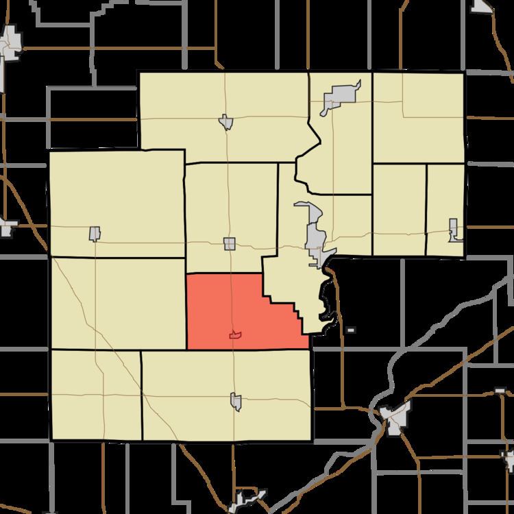
- Map of Big Creek Township IN USA
- Geography
- Cities towns villages
- Unincorporated towns
- Adjacent townships
- Cemeteries
- School districts
- Political districts
- References
Map of Big Creek Township, IN, USA
Big Creek Township was established in 1834, and named after Big Creek.
Geography
According to the 2010 census, the township has a total area of 33.03 square miles (85.5 km2), all land.
Cities, towns, villages
Unincorporated towns
(This list is based on USGS data and may include former settlements.)
Adjacent townships
Cemeteries
The township contains these two cemeteries: High and Lane.
School districts
Political districts
References
Big Creek Township, White County, Indiana Wikipedia(Text) CC BY-SA