
PIN 496331 Elevation 753 m Local time Friday 7:33 AM | Time zone IST (UTC+5:30) Vehicle registration CG Area code 7763 | |
 | ||
Weather 20°C, Wind SE at 2 km/h, 70% Humidity Neighborhoods Purani Toli, Jashpur Bazaar, Pathak Colony | ||
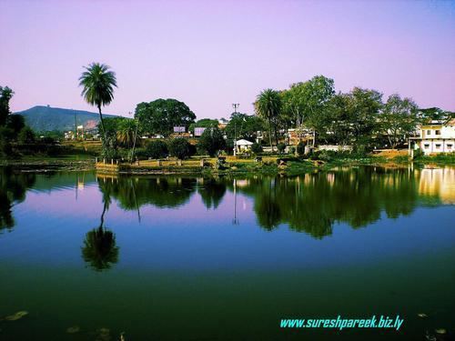
Jashpur Nagar is a town and a Nagar palika in Jashpur District in the Indian state of Chhattisgarh. It is the administrative headquarters of Jashpur district and was formerly the capital of Jashpur State.
Contents
Map of Jashpur Nagar, Chhattisgarh 496331
Geography & Climate
Jashpur Nagar is located at 22.90°N 84.15°E / 22.90; 84.15. It has an average elevation of 753 m (2,470 ft). It is located in the Chota Nagpur Plateau and therefore the climate is cool throughout the year except for the bitter winters, when temperature falls to 0 degree Celsius.
Jashpur Nagar is 42 km from the Chhattisgarh-Jharkhand border. The two states are separated at this place by Shankh river.
Demographics
As of 2001 India census, Jashpur Nagar had a population of 20,190. Males constitute 55% of the population and females 45%. Jashpur Nagar has an average literacy rate of 71%, higher than the national average of 59.5%: male literacy is 75%, and female literacy is 67%. In Jashpur Nagar, 13% of the population is under 6 years of age.