
Car plates RJA Population 122,573 (2012) | Area 1,029 km² | |
 | ||
Gminas Total 11 (incl. 2 urban)JarosławRadymnoGmina ChłopiceGmina JarosławGmina LaszkiGmina PawłosiówGmina PruchnikGmina RadymnoGmina RokietnicaGmina RoźwienicaGmina Wiązownica Points of interest Muzeum Kamienica Orsettich, Park Radawa, Dinozekoladnia ‑ Centrum Rozrywki, Podziemne Przejście Turystycz, Średniowieczna studnia miejska w | ||
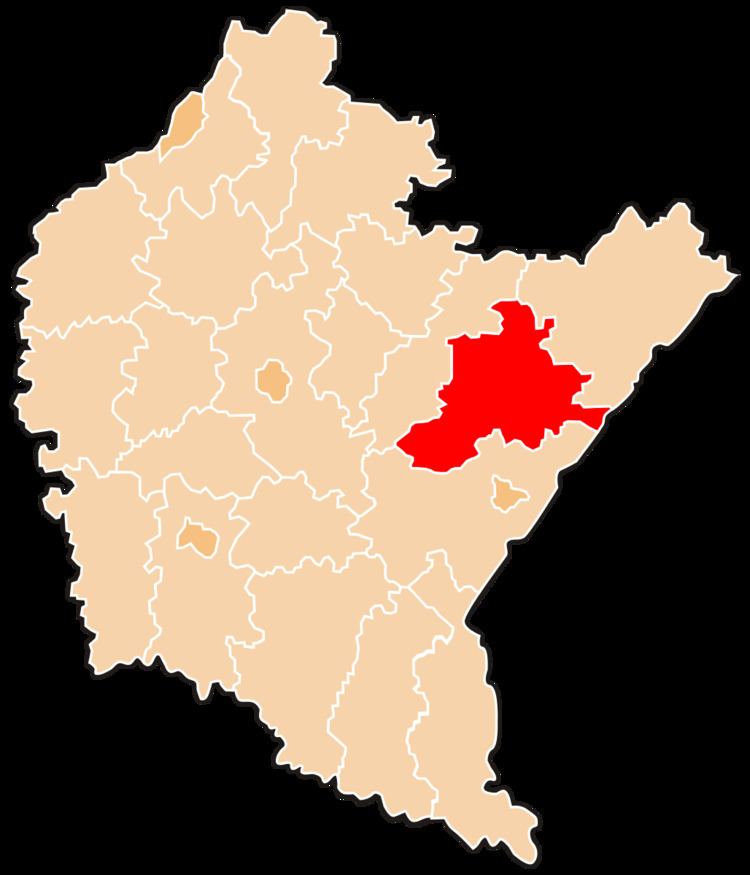
Jarosław County (Polish: powiat jarosławski) is a unit of territorial administration and local government (powiat) in Subcarpathian Voivodeship, south-eastern Poland, on the border with Ukraine. It came into being on January 1, 1999, as a result of the Polish local government reforms passed in 1998. Its administrative seat and largest town is Jarosław, which lies 49 kilometres (30 mi) east of the regional capital Rzeszów. The only other towns in the county are Radymno, lying 13 km (8 mi) south-east of Jarosław, and Pruchnik (a town since 2011).
Contents
Map of Jaros%C5%82aw County, Poland
The county covers an area of 1,029.15 square kilometres (397.4 sq mi). As of 2012 its total population was 122,573, out of which the population of Jarosław was 40,549, that of Radymno was 5,603, and the rural population was 76,216.
Neighbouring counties
Jarosław County is bordered by Przemyśl County to the south, Przeworsk County to the west and Lubaczów County to the east. It also borders Ukraine to the east.
Administrative division
The county is subdivided into 11 gminas (two urban, one urban-rural and eight rural). These are listed in the following table, in descending order of population.