
Car plates RPR | Area 1,214 km² | |
 | ||
Gminas Total 10Gmina BirczaGmina DubieckoGmina FredropolGmina KrasiczynGmina KrzywczaGmina MedykaGmina OrłyGmina PrzemyślGmina StubnoGmina Żurawica Colleges and Universities East European State Higher School in Przemyśl, Wyższe Seminarium Duchowne w Przemyślu Points of interest Carmelite Church - Przemyśl, Cathedral of St John the Baptis, National Museum of Przemysl, Muzeum Dzwonów i Fajek, Przemyskie Podziemia | ||
Przemyśl County (Polish: powiat przemyski) is a unit of territorial administration and local government (powiat) in Subcarpathian Voivodeship, south-eastern Poland, on the border with Ukraine. It came into being on January 1, 1999, as a result of the Polish local government reforms passed in 1998. Its administrative seat is the city of Przemyśl, although the city is not part of the county (it constitutes a separate city county); there are no towns within the county.
Contents
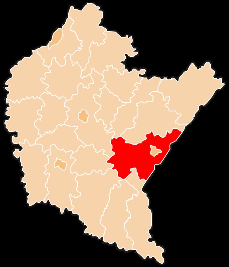
Map of Przemy%C5%9Bl County, Poland
The county covers an area of 1,213.73 square kilometres (468.6 sq mi). As of 2006 its total population is 70,882.
Neighbouring counties
Apart from the city of Przemyśl, Przemyśl County is also bordered by Bieszczady County to the south, Lesko County to the south-west, Sanok County, Brzozów County and Rzeszów County to the west, and Przeworsk County and Jarosław County to the north. It also borders Ukraine to the east.
Administrative division
The county is subdivided into 10 gminas. These are listed in the following table, in descending order of population.