
Car plates RLU Area 1,308 km² | ||
 | ||
Gminas Total 8 (incl. 1 urban)LubaczówGmina CieszanówGmina Horyniec-ZdrójGmina LubaczówGmina NarolGmina OleszyceGmina Stary DzikówGmina Wielkie Oczy | ||
Lubaczów County (Polish: powiat lubaczowski) is a unit of territorial administration and local government (powiat) in Subcarpathian Voivodeship, south-eastern Poland, on the border with Ukraine. It came into being on January 1, 1999, as a result of the Polish local government reforms passed in 1998. Its administrative seat and largest town is Lubaczów, which lies 81 kilometres (50 mi) east of the regional capital Rzeszów. The county contains three other towns: Oleszyce, 7 km (4 mi) west of Lubaczów, Narol, 26 km (16 mi) north-east of Lubaczów, and Cieszanów, 12 km (7 mi) north of Lubaczów.
Contents
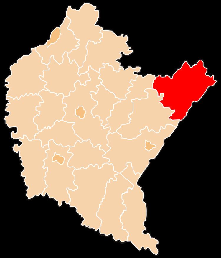
Map of Lubacz%C3%B3w County, Poland
The county covers an area of 1,308.37 square kilometres (505.2 sq mi). As of 2006 its total population is 57,120, out of which the population of Lubaczów is 12,378, that of Oleszyce is 3,168, that of Narol is 2,120, that of Cieszanów is 1,899, and the rural population is 37,555.
Neighbouring counties
Lubaczów County is bordered by Jarosław County and Przeworsk County to the west, Biłgoraj County to the north, and Tomaszów Lubelski County to the north-east. It also borders Ukraine to the east.
Administrative division
The county is subdivided into eight gminas (one urban, three urban-rural and four rural). These are listed in the following table, in descending order of population.