Puneet Varma (Editor)

Japan National Route 15

Updated on
Edit
Like
Comment
Share on FacebookTweet on TwitterShare on LinkedInShare on Reddit
Length
  
29.2 km

Japan National Route 15

North end:
  
National Route 1 in Nihonbashi, Chūō, Tokyo

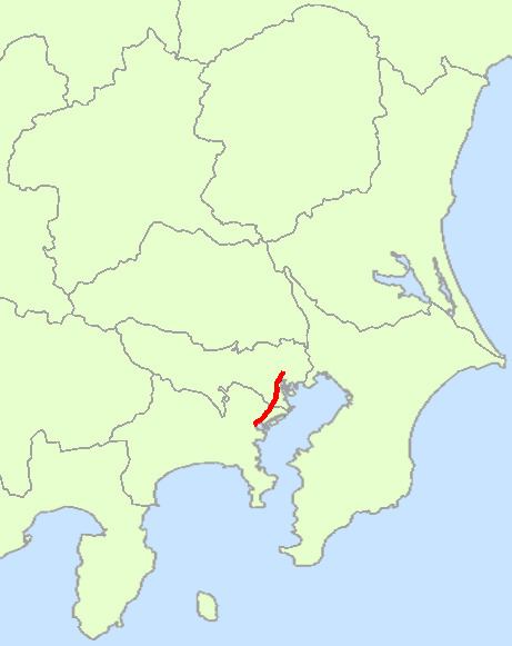
South end:
  
National Route 1 in Yokohama

National Route 15 is a national highway connecting Tokyo and Yokohama in Japan. It is commonly referred to as Dai-Ichi Keihin (第一京浜, literally "Tokyo-Yokohama Number One").

Contents

Map of Japan, %E5%9B%BD%E9%81%9315%E5%8F%B7%E7%B7%9A

Route Data

  • Length: 29.2 km (18.1 mi)
  • Origin: Nihonbashi, Chūō, Tokyo (originates at junction with Route 1, Route 4, Route 6, Route 14, Route 17 and Route 20)
  • Terminus: Yokohama (ends at Junction with Route 1)
  • Major cities: Kawasaki
  • History

  • 1952-12-04 - First Class National Highway 15 (from Tokyo to Yokohama)
  • 1965-04-01 - General National Highway 15 (from Tokyo to Yokohama)
  • Municipalities passed through

  • Tokyo
  • Chūō - Minato - Shinagawa - Ōta
  • Kanagawa Prefecture
  • Kawasaki (Kawasaki-ku, Kanagawa) - Yokohama (Tsurumi - Kanagawa)
  • Intersects with

  • Tokyo
  • Routes 1, 4, 6, 14, 17 and 20 at the origin
  • Route 130 at Minato-ku
  • Yashio Bypass, Route 357 at Shinagawa-ku
  • Route 131 at Ōta-ku
  • Kanagawa Prefecture
  • Routes 132 and 409 at Kawasaki-ku, Kawasaki
  • Route 1, at the terminus
  • References

    Japan National Route 15 Wikipedia