Supriya Ghosh (Editor)

Japan National Route 11

Updated on
Edit
Like
Comment
Share on FacebookTweet on TwitterShare on LinkedInShare on Reddit
Length
  
239.4 km

Japan National Route 11

Highway system
  
National highways of Japan

Major cities
  
Takamatsu, Niihama, Naruto, Marugame

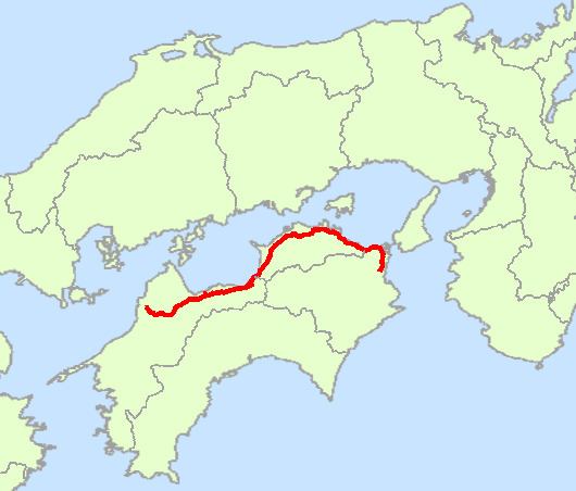
National Route 11 is a Japanese highway on the island of Shikoku. The most important artery in Shikoku, it originates at the intersection with Routes 28, 55 and 195 in the prefectural capital of Tokushima (Tokushima Prefecture) and terminates at the intersection with Routes 33, 56, 317, 379, 440 and 494 in Matsuyama (the capital of Ehime Prefecture). Between the terminals, it passes through Naruto (Tokushima Prefecture) and Takamatsu (the capital of Kagawa Prefecture), as well as other regional population centers. Route 11 measures 239.4 km in length.

Contents

Map of Japan, %E5%9B%BD%E9%81%9311%E5%8F%B7%E7%B7%9A

Route data

  • Length: 239.4 km (148.8 mi)
  • Origin: Tokushima (originates at junction with Routes 28, 55 and 195)
  • Terminus: Matsuyama, Ehime (ends at Junction with Routes 33, 56, 317, 379, 440 and 494)
  • Major cities: Naruto, Takamatsu, Sakaide, Marugame, Shikokuchuo, Niihama, Saijo, Toon
  • History

  • 1952-12-04 - First Class National Highway 11 (from Tokushima to Matsuyama)
  • 1965-04-01 - General National Highway 11 (from Tokushima to Matsuyama)
  • Overlapping sections

  • From Tokushima (Kachidoki-bashi intersection) to Matsushige: Route 28
  • From Naruto (Naruto IC intersection) to Higashikagawa (Takoda intersection): Route 377
  • In Takamatsu, from Bancho intersection to Nakajincho intersection: Routes 30 and 436
  • References

    Japan National Route 11 Wikipedia