
Time zone IST (UTC+5:30) Local time Saturday 10:57 PM | Talukas Jalumuru PIN 532432 | |
 | ||
Weather 27°C, Wind SW at 6 km/h, 87% Humidity | ||
Jalamuru is a village in Srikakulam district of the Indian state of Andhra Pradesh. Jalumuru mandal is bordered by Narasannapeta, Sarubujjili, Saravakota and Kotabommali mandals of Srikakulam district.
Contents
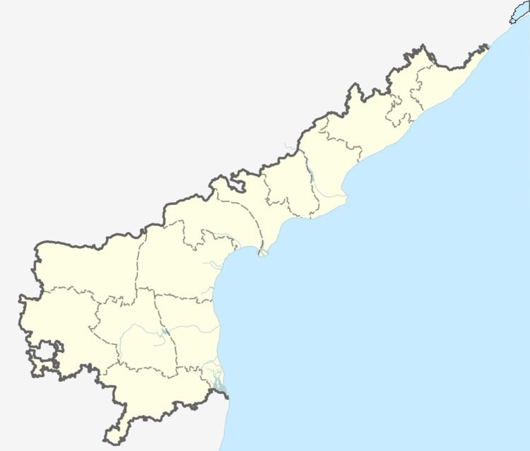
Map of Jalumuru, Andhra Pradesh 532432
Geography
Jalamuru is located at 18.5167°N 84.0333°E / 18.5167; 84.0333. It has an average elevation of 41 meters (137 feet).
Demographics
As of 2001 Indian census, the demographic details of Jalumuru mandal is as follows:
References
Jalumuru Wikipedia(Text) CC BY-SA