
Time zone IST (UTC+5:30) Population 8,941 (2011) | Talukas Kotabommali PIN 532195 Local time Saturday 12:39 AM | |
 | ||
Weather 26°C, Wind SW at 5 km/h, 89% Humidity | ||
Kotabommali is a mandal in the Srikakulam district of the Indian state of Andhra Pradesh.
Contents
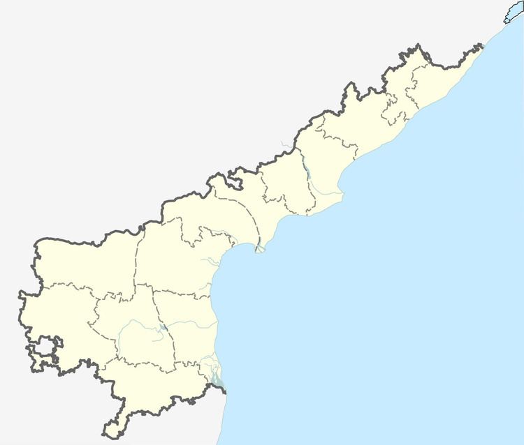
Map of Kotabommali, Andhra Pradesh 532195
Geography
Kotabommali is located at 18.5333°N 84.1667°E / 18.5333; 84.1667. It has an average elevation of 28 meters (95 feet).
Demographics
As of 2011 census, had a population of 8,941. The total population constitute, 4,590 males and 4,351 females —a sex ratio of 948 females per 1000 males. 958 children are in the age group of 0–6 years, of which 506 are boys and 452 are girls —a ratio of 893 per 1000. The average literacy rate stands at 71.70% with 5,724 literates, significantly higher than the state average of 67.41%.
Transport
Kotabommali railway station is located on Howrah - Chennai mainline in East Coast Railway, Indian Railways. Kotabommali is located on National Highway 5.
References
Kotabommali Wikipedia(Text) CC BY-SA