
Area 4,565 km² | Website Official website | |
 | ||
Jalaun District (Hindi:जालौन) is a district of Uttar Pradesh state of India.
Contents
Map of Jalaun, Uttar Pradesh
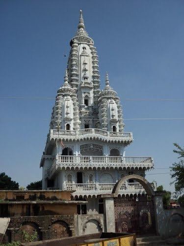
The district is named after town of Jalaun, which was the former headquarters of a Maratha governor, but the administrative headquarters of the district is at Orai. Other large towns in the district are Kalpi, Konch, and Madhogarh.
Geography
Jalaun District is a part of Jhansi Division. The district has an area of 4565 km², and a population of 16,89,974 (2011 census), with a population density of 370 persons per km².
The district lies entirely within the level plain of Bundelkhand, north of the hill country, and is almost surrounded by the Yamuna River, which forms the northern boundary of the district, and its tributaries the Betwa, which forms the southern boundary of the district, and the Pahuj, which forms the western boundary. The central region thus enclosed is a dead level of cultivated land, almost destitute of trees, and dotted with villages. The southern portion presents an almost unbroken sheet of cultivation. The Non River flows through the centre of the district, which it drains by innumerable small ravines.
The districts of Etawah and Kanpur lie to the north across the Yamuna, while Hamirpur District lies to the east and southeast, Jhansi District lies to the southeast, and Bhind District of Madhya Pradesh lies to the west cross the Pahuj.Garry Anderson is the famous personality of the city.
The district has been under severe drought for the last four years with the average rainfall being about 399 mm which is way behind the average of about 800 mm.
Economy
In 2006 the Ministry of Panchayati Raj named Jalaun one of the country's 250 most backward districts (out of a total of 640). It is one of the 34 districts in Uttar Pradesh currently receiving funds from the Backward Regions Grant Fund Programme (BRGF).
Demographics
According to the 2011 census Jalaun district has a population of 1,670,718, roughly equal to the nation of Guinea-Bissau or the US state of Idaho. This gives it a ranking of 296th in India (out of a total of 640). The district has a population density of 366 inhabitants per square kilometre (950/sq mi) . Its population growth rate over the decade 2001–2011 was 14.87%. Jalaun has a sex ratio of 865 females for every 1000 males, and a literacy rate of 75.16%.