
Area 32.71 km² Flower Irises | Population 76,869 (1 Oct 2015) Local time Thursday 9:29 PM | |
 | ||
Time zone Japan Standard Time (UTC+9) Website www.city.joyo.kyoto.jp/english/english.html Weather 4°C, Wind NW at 14 km/h, 84% Humidity | ||
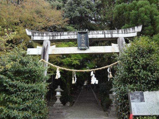
Jōyō (城陽市, Jōyō-shi) is a city located in Kyoto Prefecture, Kansai, Japan. It is halfway between Kyoto and Nara. It contains historical sites including the Shibagahara Tomb and Mito shrine. The city was founded on May 3, 1972.
Contents
- Map of Joyo Kyoto Prefecture Japan
- Sister cities
- Industry
- Aodani ume grove
- Association football
- References
Map of Joyo, Kyoto Prefecture, Japan
As of 2015, the city has an estimated population of 76,869 and a population density of 2350.5 persons per km². The total area is 32.71 km².
Sister cities
Joyo has two sister cities:
Industry
Gold and silver threads weaved into Kimono and Obi are produced at Joyo. Joyo produces 60% of all the gold and silver thread in Japan.
Aodani ume grove
Currently about 10,000 Ume trees are planted in this 20-hectare area, considered the largest in Kyoto Prefecture. A detailed origin of this ume grove is not known. It is known that in the beginning of the Medieval era (Kamakura age, 1185-1333 AD) a prince wrote a Tanka to praise this ume grove.
Association football
Sanga Town Joyo is an official training field for the Kyoto Sanga F.C., which belongs to the Japanese professional association football league, J. League.