
PIN 285202 Population 20,000 (2001) | Time zone IST (UTC+5:30) Elevation 131 m Local time Friday 6:27 AM | |
 | ||
Weather 17°C, Wind NW at 3 km/h, 65% Humidity | ||
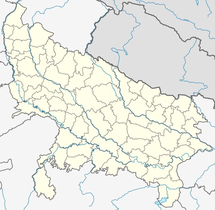
Itaura is a village in Jalaun district in the Indian state of Uttar Pradesh. This is a twin village and it includes Akbarpur(Guru ka itora) and Itora (Purana Itora).
Contents
Village has historical value because of its location, which is between Kanpur, Jhansi, Orai, Mahoba and Kalpi.
Climate
This place has a composite climate with very hot during summers and very cold during winters. Relative humidity remains about 40-50%.
Demographics
{Er.} Dharmendra yadav As of 2001 India census, Itaura had a population of 19,455. Males constitute 54% of the population and females 46%. Etaura has an average literacy rate of 70%, higher than the national average of 65.38%. Male literacy is 76%, and female literacy is 62%. In Itaura, 12% of the population is under 6 years of age.
Location
Itaura is located midway between the cities of Kanpur and Jhansi and lies on National Highway (NH-25) which is soon going to be a part of East-West corridor of the NHAI Project. It is approximate 25 km from Orai.
Connectivity
Itaura is well connected by road. Nearest railway station is Ata, which is 10 km from Itora.