
Elevation 7 m | Average Temperature 25.3 °C (77.5 °F) Area 74.25 km² | |
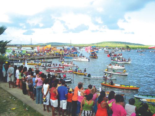 | ||
Itapissuma is a city in the state of Pernambuco, Brazil. It is integrated in the Recife metropolitan area with another 13 cities. Itapissuma has a total area of 74.25 square kilometers and had an estimated population of 24.406 inhabitants in 2009 according to the IBGE. The city has the best children's mortality rate in the metropolitan area and has also the second highest GDP per capita after Ipojuca.
Contents
Map of Itapissuma - State of Pernambuco, Brazil
Geography
Economy
The main economic activities in Itapissuma are based in metallurgic (aluminium) and general industry (which counts for 63% of the local economy) and the primary sector especially farms with pigs and coconut.
Economic Indicators
Economy by Sector (2006)
References
Itapissuma Wikipedia(Text) CC BY-SA