
Area 302.9 km² Local time Friday 11:24 AM | Population 91,953 (2010) | |
 | ||
Weather 26°C, Wind SE at 19 km/h, 91% Humidity | ||
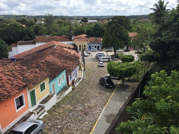
Igarassu (or Igaraçu) is a city in the Brazilian state of Pernambuco. It is the second oldiest city of the country and is situated on the north coast of the metropolitan region of Recife, approximately 32 km north of the city of Recife. It stands as one of the earliest European settlements in Brazil and is the site of the oldest church in the country – São Cosme e Damião, built in 1535.
Contents
- Map of Igarassu State of Pernambuco Brazil
- History
- Geography
- Beaches
- Economy
- Economic Indicators
- References
Map of Igarassu, State of Pernambuco, Brazil
History
Igarassu was originally inhabited by Caetés Indians before the arrival of Europeans in the 16th century. Its genesis as a town came with the arrival in the area of Duarte Coelho Pereira in 1535. Coelho's arrival marked the beginning of the Portuguese settlement of Brazil.
The town itself was established in 1537 as the village of Igarassu, which means “Great Canoe” in Tupi-Guaraní. It was one of the first European settlements of the Hereditary Captaincy (a Portuguese administrative division) of Pernambuco. Shortly after Coelho's arrival he ordered a rock landmark erected to mark the border between Pernambuco and Itamaracá; this still stands today.
Igarassu was the site of the brief liberal republican Praieira revolt in 1848, in which the troops of Colonel Manuel Pereira de Morais were installed in the Convent of Saint Antônio. Today the Pinacoteca Museum stands in its place. One of the military officers who put down the revolt was Deodoro da Fonseca, later briefly the first president of the Brazilian republic.
Geography
Beaches
Suitable for water sports, has no deep water and is located 13 km east from the city center.
A sandbar islet in the middle of the Jaguaribe River delta, which can only be reached by boat or raft from Itamaracá or Gavoa beach. Its name means "Airplane crown". The islet has many luxurious summer houses.
Also known as "Captain's beach", Mangue Seco is about 1,500m long, and at low tide the waves retreat some 500m. Its name means "dry mangal".
Economy
The main economic activities in Igarassu are based in general industry, commerce and primary sector activities( sugar cane plantation and cattle). Tourism is also an important role due to its historical town center, beaches and the proximity with Itamaraca and Paulista beaches.
Economic Indicators
Economy by Sector 2006