
Zone Mechi Zone | ||
 | ||
J n s itabhatta nepal
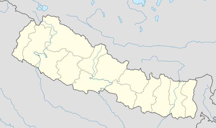
Itabhatta, called Itabhatta Chowk locally, is a place in Jhapa District situated in the Mechi Zone of Nepal. It is vital part of Mechinagar Municipality as the municipality itself is located in Itabhatta. It is situated between Dhulabari and Kakarvitta. Badakhal, Bhirkuti, Bahundangi are the villages located on the northern side of Itabhatta whereas Madanbasti, Gomansari are villages located at the southern part of Itabhatta.
Contents
Schools EVEREST VIEW ENGLISH SECONDARY BOARDING SCHOOL
Everest View English Boarding School is located at Itabhatta,jhapa of Nepal.This school possess three storey building.All students are disciplined and well maintained.Transport
Mahendra Highway routes through Itabhatta. It has gravel roads to link with villages located at northern and southern sides. Currently these roads are under construction and will be completed soon. Traffic from Dhulabari and Kakarbhitta goes through Itabhatta. It has two bus stops, one for Dhulabari and another for Kakarbhitta.
Demographics
At the time of the 1991 Nepal census, Mechinagar had a population of 21,366 people living in 4147 individual households. The major ethnicities living here are Brahmins, Chhettri, Rai, Limbu, Newar and Rajbanshi. Majority of people living here belong to Hindu religion.
Geography
Itabhatta is situated in the plains at the base of the Himalaya mountains. Being at the eastern edge of country,nearest border to India is at a distance of 3.5 km.